Laugavegur Trail & Beyond – day by day
ICELAND | JUNE-JUL 2023
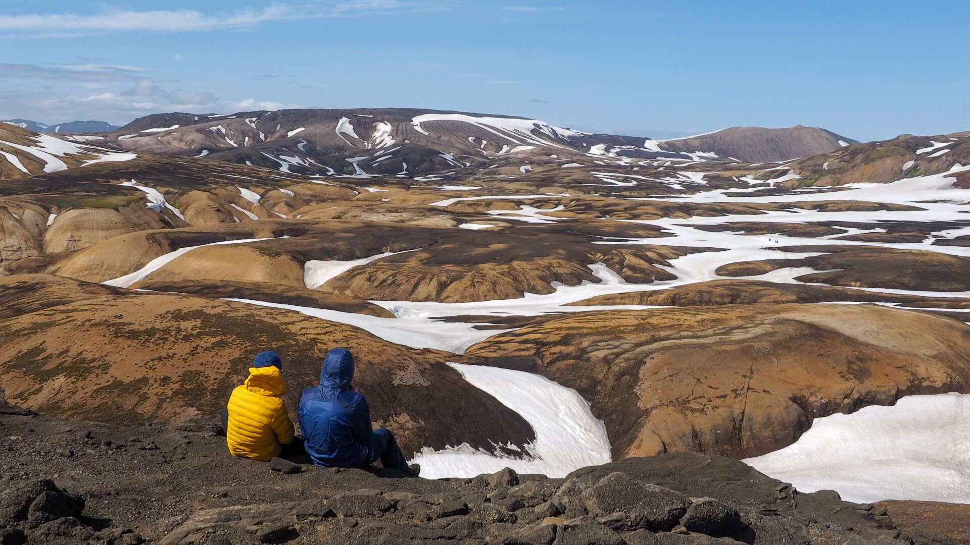
This 20-day Iceland itinerary combines the Laugavegur Trail with a road trip around Iceland, including glacier hikes, waterfalls, hot springs and the Westfjords.
Laugavegur Trail
Day 0 | Reykjavik to Landmannalaugar
We landed in Iceland just after midnight.
Our bus to Landmannalaugar was leaving at 7 AM, so there was little point in looking for accommodation. Instead, we spent the night wandering through the quiet streets of Reykjavik.
The city was almost empty. The summer night never really became dark, and the soft light made everything feel slightly unreal. We walked around the center, sat for a while at the bus station, and tried to get some sleep whenever we could.
A few hours later it was already morning.
The bus carried us from the green lowlands into the Icelandic Highlands. With every kilometer the landscape became more barren and volcanic. Black lava fields replaced farms and villages. We were finally heading into the interior.
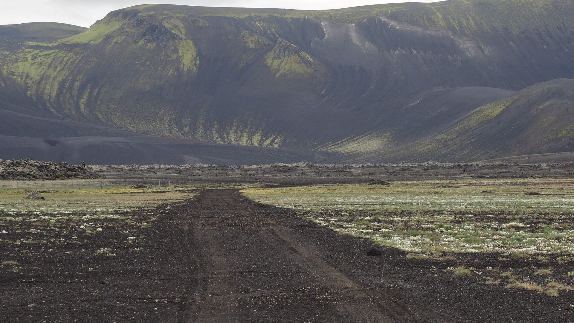
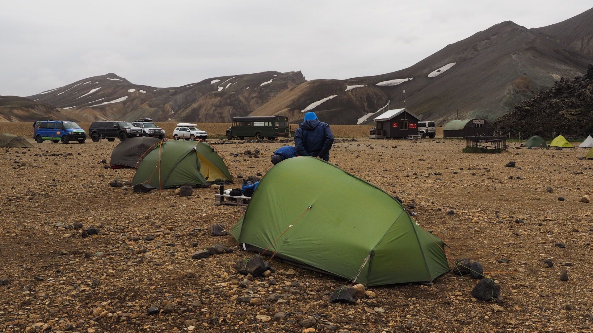
By early afternoon we arrived in Landmannalaugar.
We pitched our tents in the middle of the famous Rainbow Mountains and planned to spend the afternoon exploring the area before starting the trek the next day. Landmannalaugar is one of the most popular hiking destinations in Iceland. Many visitors come only for a day trip, combining a short walk with a soak in the nearby hot springs.
Our plan sounded good.
First, lunch.
Then a short rest in the tent.
We woke up at 5 AM the next morning.
Completely refreshed.
So much for the afternoon hike.
Day 1 | Landmannalaugar to Hrafntinnusker
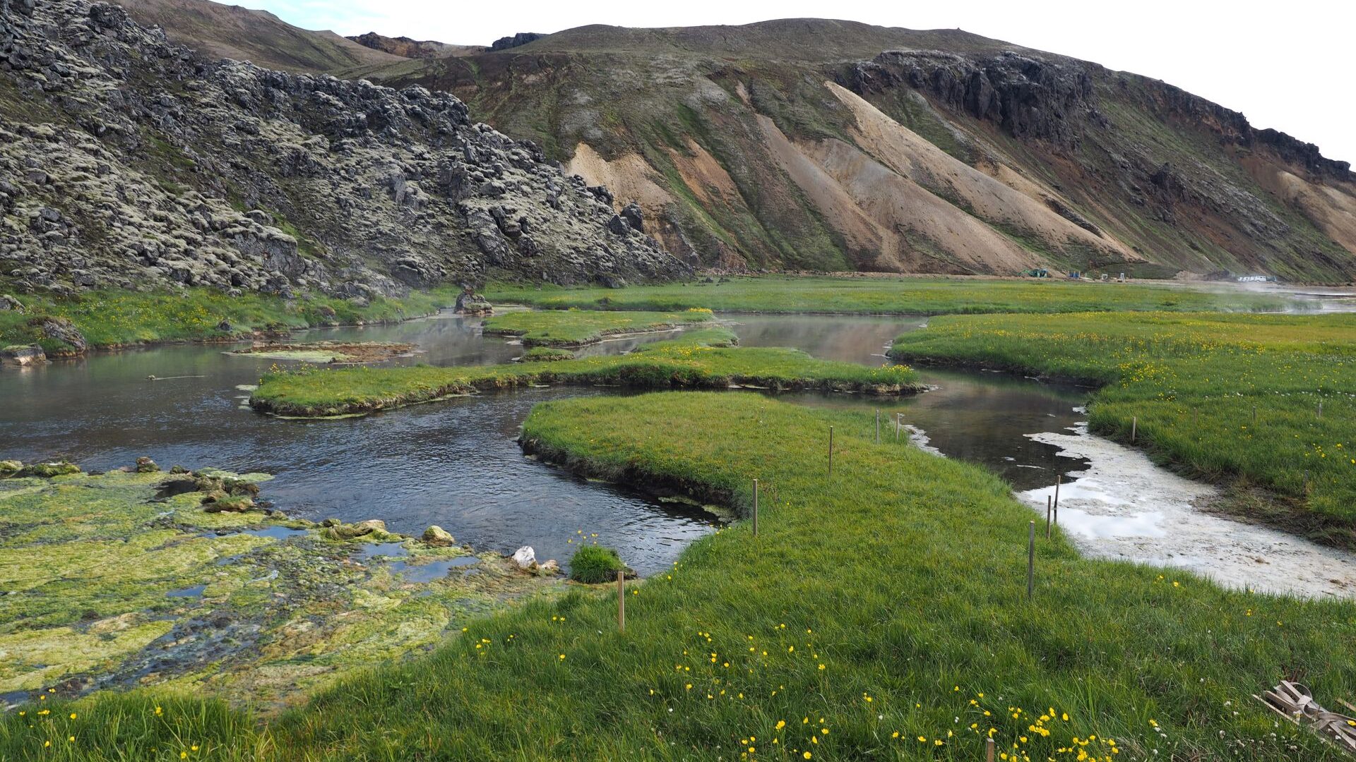
Everyone at the campsite was still asleep. We headed straight for the hot springs.
The air temperature was around 10°C, while the water was close to 40°C. Stepping into the warm water on a cold Icelandic morning felt wonderful.
Before starting the trek, we decided to do the hike we had planned for the previous day. Leaving our heavy backpacks at camp, we set off into the Rainbow Mountains with only our daypacks.
The trail crossed lava fields before climbing steadily higher into the colorful rhyolite hills.
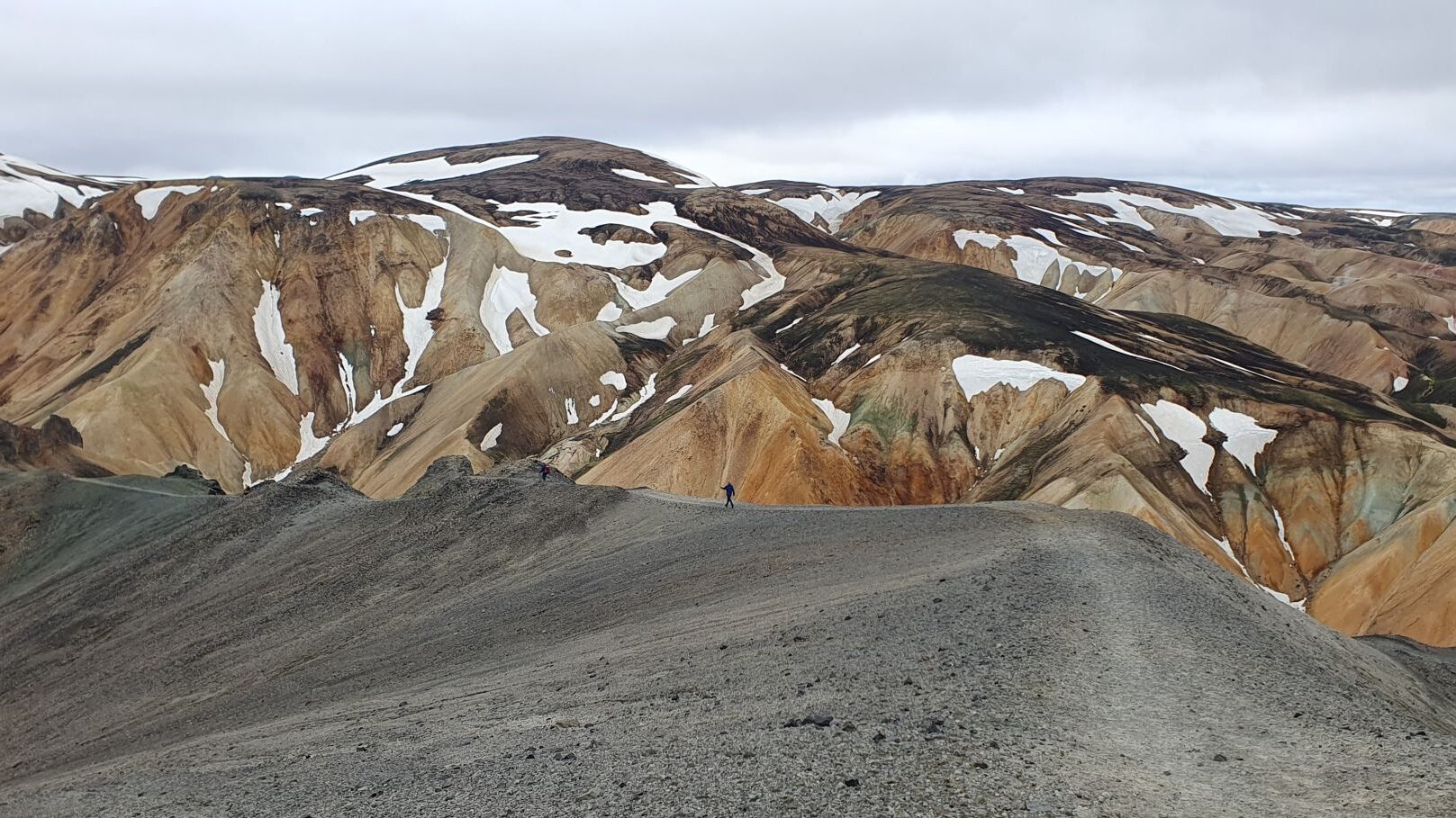
Ahead of us, the mountains glowed in shades of red, orange, yellow and green. The colors seemed almost unreal. Created by volcanic activity and geothermal processes, they are one of the most distinctive landscapes in Iceland.
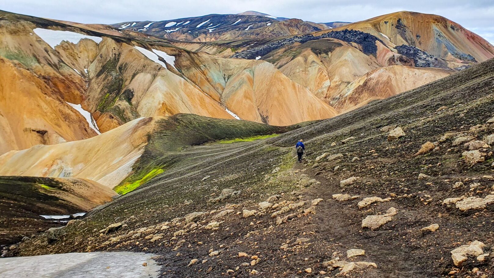
Eventually we returned to camp, packed our tents and shouldered our full backpacks. The real trek was about to begin.
The higher we climbed, the colder it became. Snow started appearing beside the trail. Then came the fog. At first it drifted in and out. Later it became so thick that the world beyond a few meters simply disappeared.
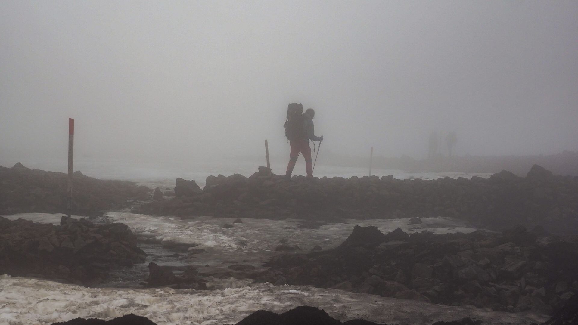
The final section crossed a vast snowfield. With every step we sank knee-deep into wet snow. Our boots were soaked through, the temperature hovered only a few degrees above freezing, and the cold slowly worked its way into our bodies.
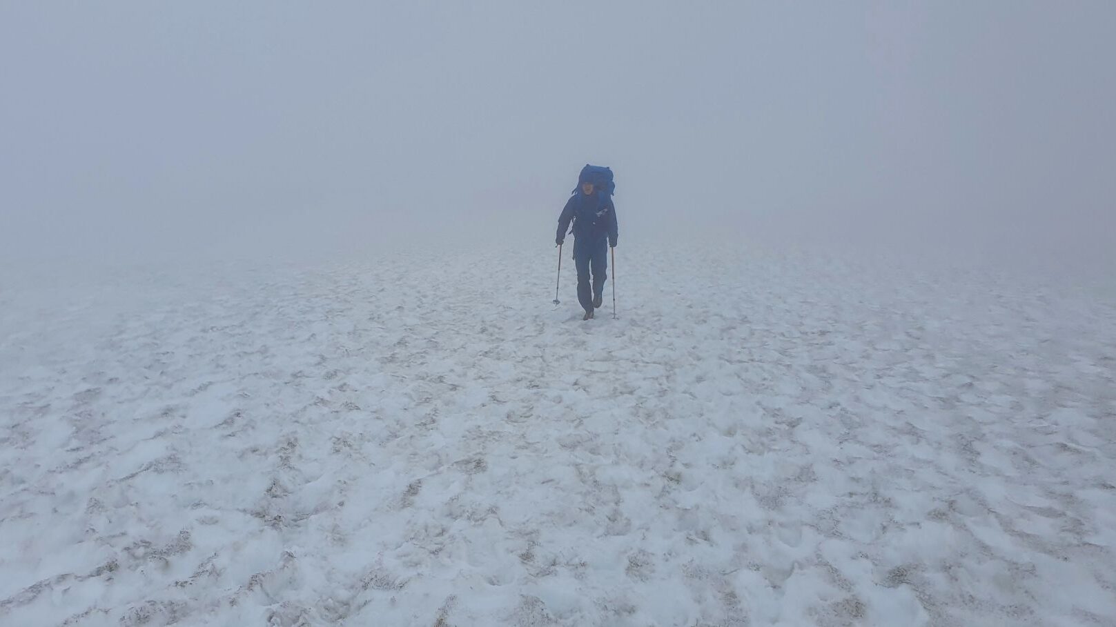
Late that night we finally reached Hrafntinnusker.
We pitched our tents inside stone wind shelters without seeing much beyond them. Tired, wet and cold, we ate a quick bowl of hot soup and disappeared into our sleeping bags.
Day 2 | Hrafntinnusker to Hvanngil
Only in the morning did we discover where we had spent the night.
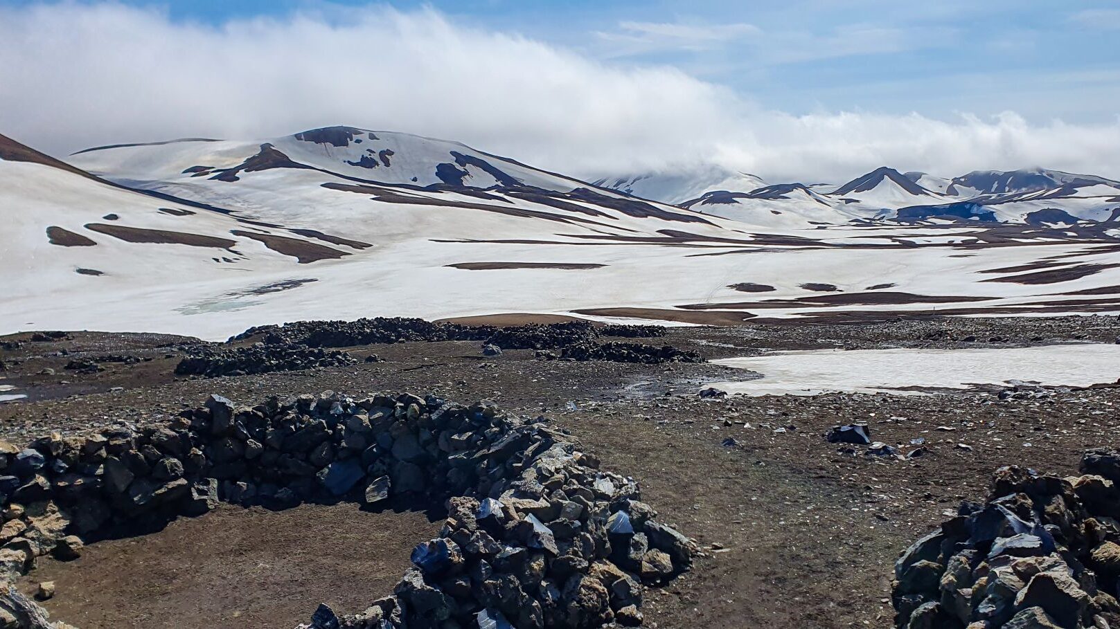
The landscape around us was vast, barren and almost surreal. Black volcanic rock stretched across the ground, interrupted by endless patches of snow. The contrast between black and white was striking.
It felt like the Arctic, far away from any sign of civilization.
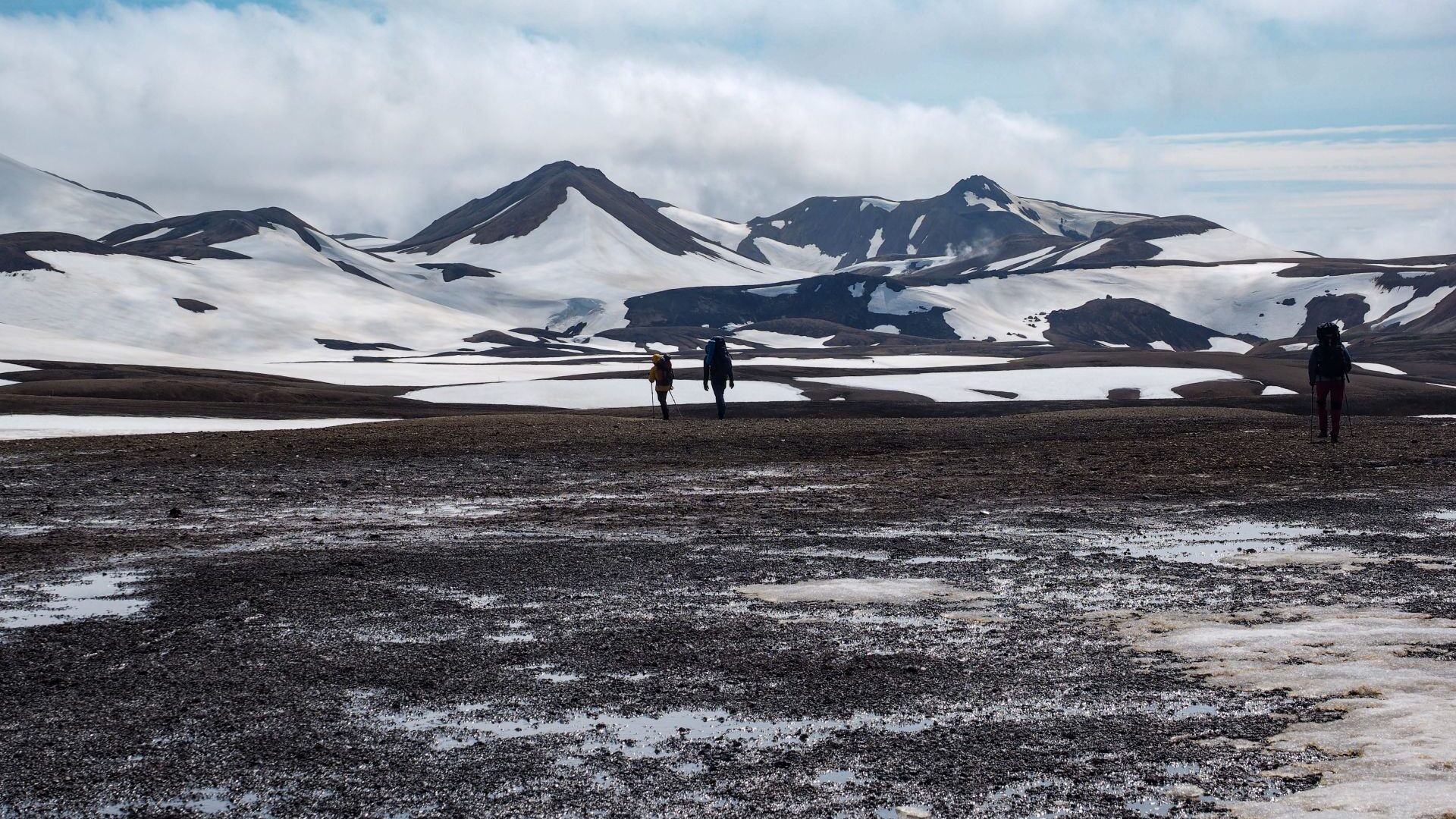
The sun finally broke through the clouds, but it did little to warm the air. A strong wind swept across the plateau and the temperature remained only a few degrees above freezing. We were grateful for the small mountain hut nearby, where we could prepare breakfast in shelter from the wind.
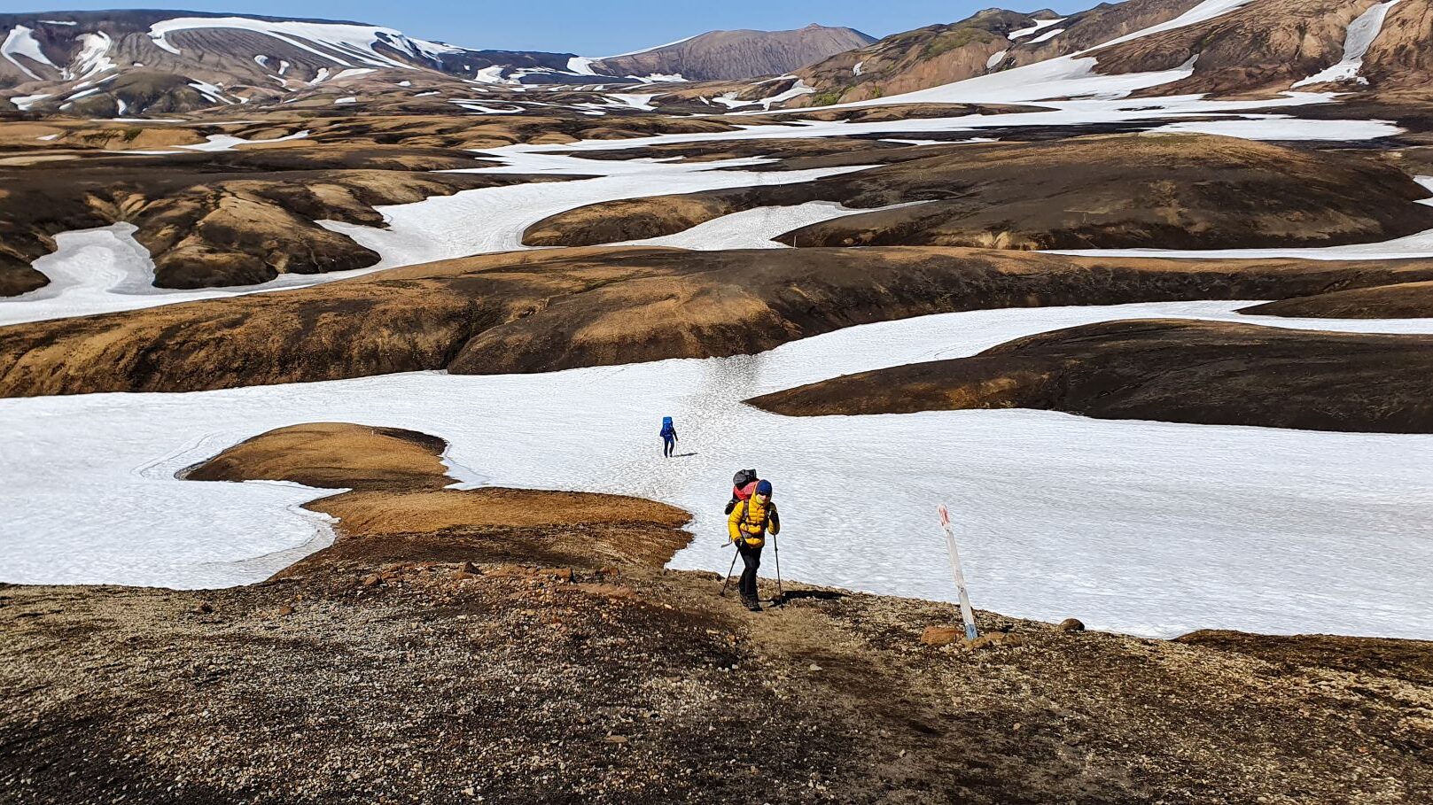
After breakfast, we packed our gear and set off into the black-and-white wilderness once again. Snowfields and volcanic rock stretched to the horizon, with hardly a sign of life anywhere around us.
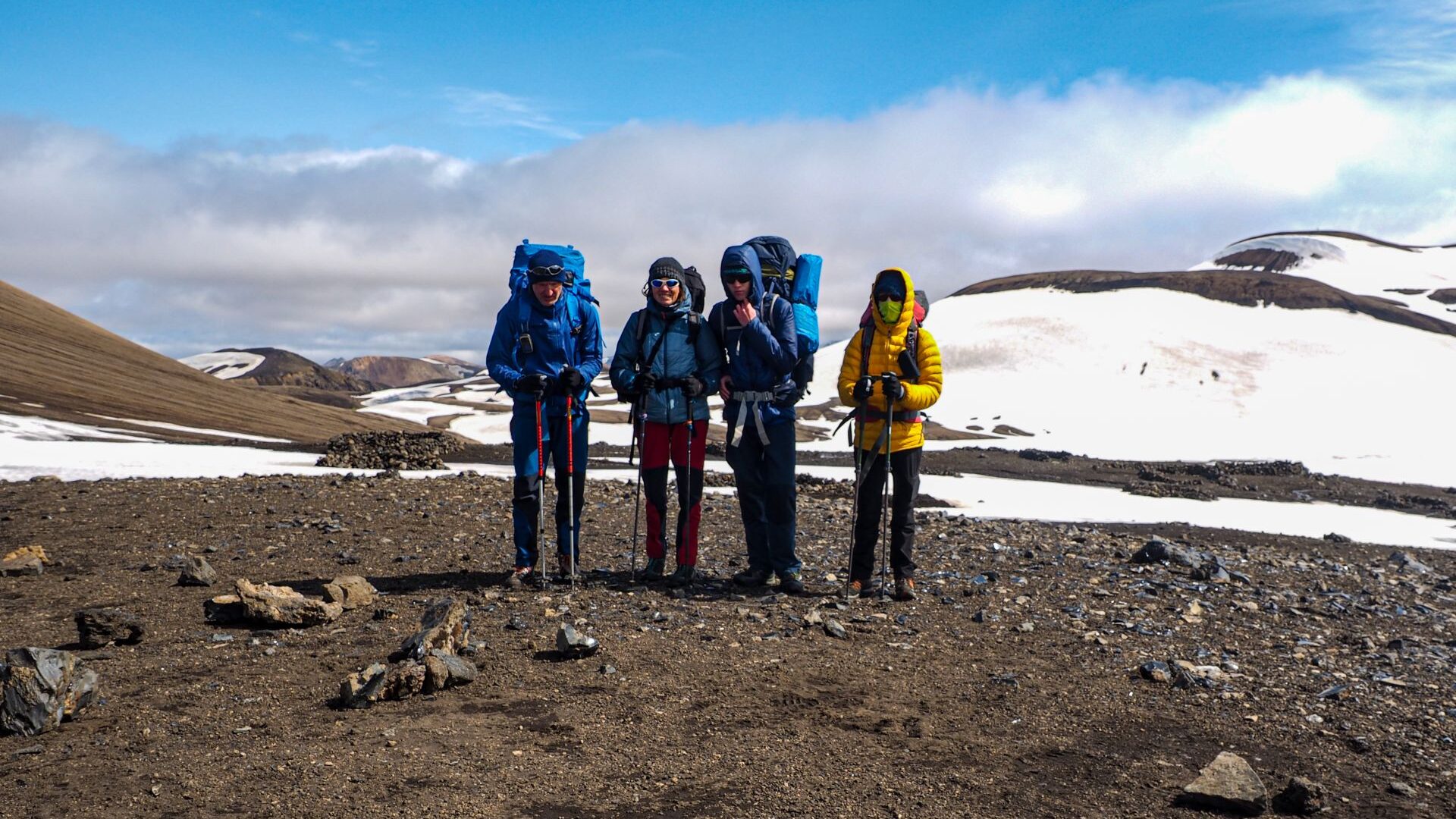
For hours we walked through a monochrome world. Snowfields alternated with volcanic gravel. Black. White. Black again. Sometimes the pattern repeated every few hundred meters.
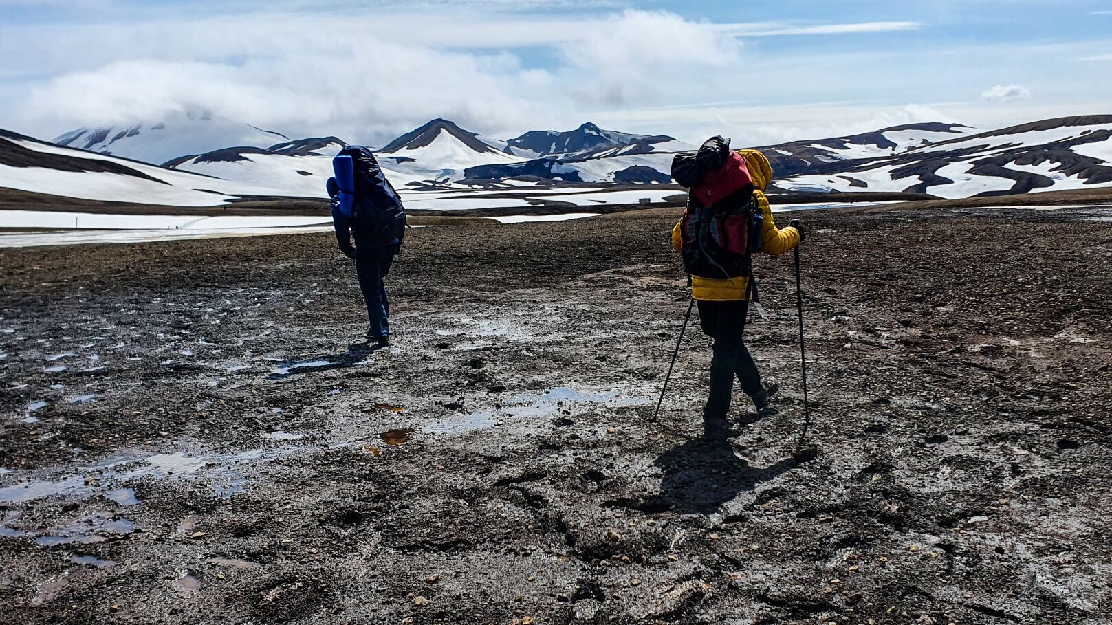
Gradually, the colours changed. The black volcanic terrain disappeared and was replaced by endless shades of brown and white. Snowfields stretched across rolling hills of volcanic ash and rhyolite.
For the next few hours it was brown. White. Brown again.
Vast. Empty. Beautiful.
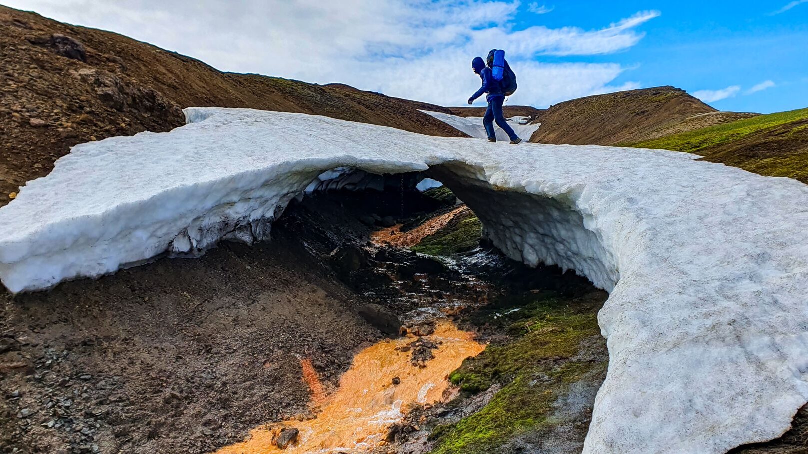
In several places the trail crossed snow bridges. Some looked solid. Others looked far less convincing. We crossed them carefully, trying not to think too much about what might be underneath.
Then everything changed.
After reaching a pass, an entirely new landscape opened before us. Below lay a wide green valley unlike anything we had seen since leaving Landmannalaugar. The hills had soft, rounded shapes, almost as if they had been sculpted from clay. A glacier dominated the horizon high above the valley.
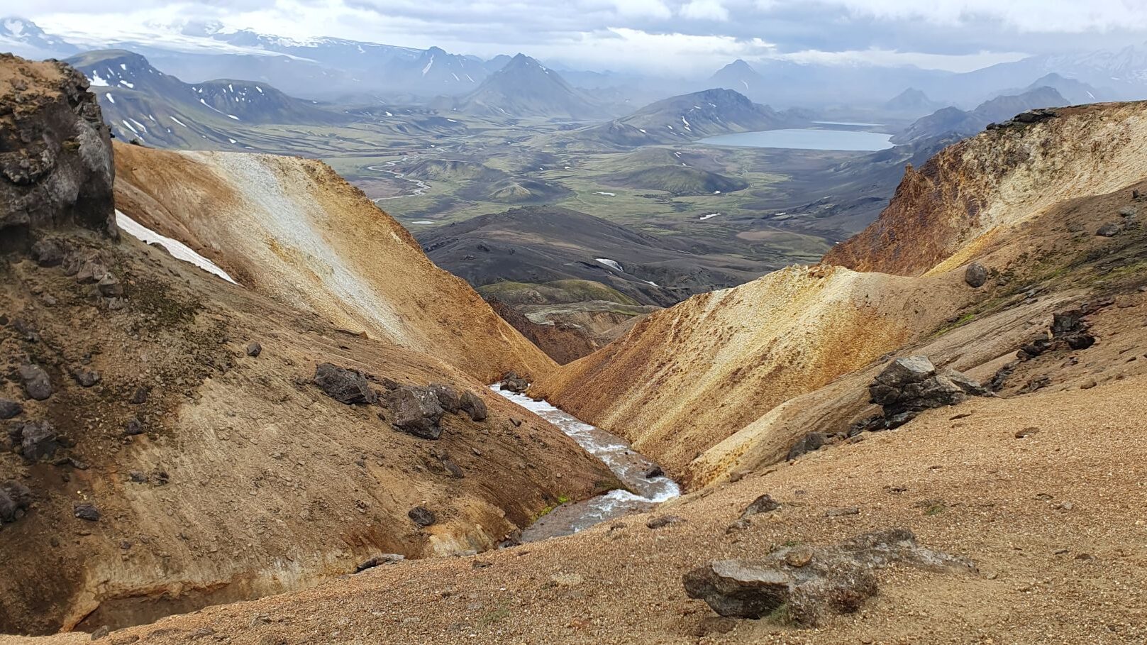
Far below, we could see a lake and a mountain hut. It looked close.
It wasn’t.
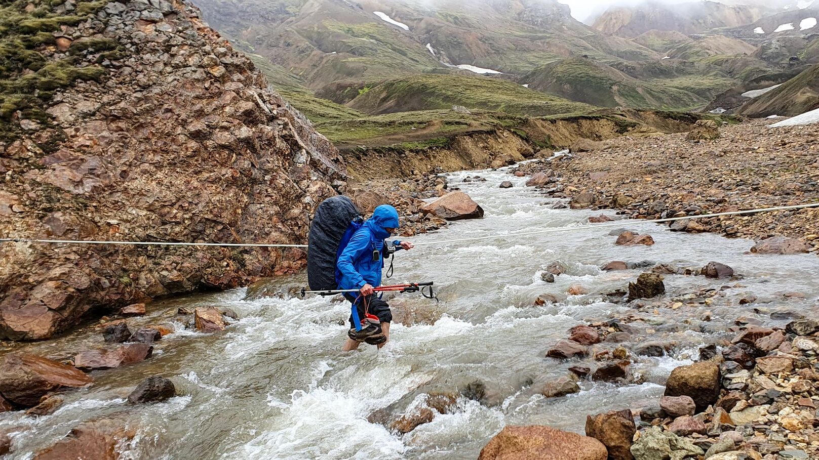
Several kilometers still separated us from our destination, including a number of icy river crossings. The water was painfully cold. To make things worse, rain began to fall.
By the time we reached the lakeside campsite, the weather had deteriorated completely. The exposed camping area offered little protection from the strengthening wind. Rangers advised hikers to continue another 4 km to Hvanngil.
At that moment it sounded like terrible news.
We were completely soaked.
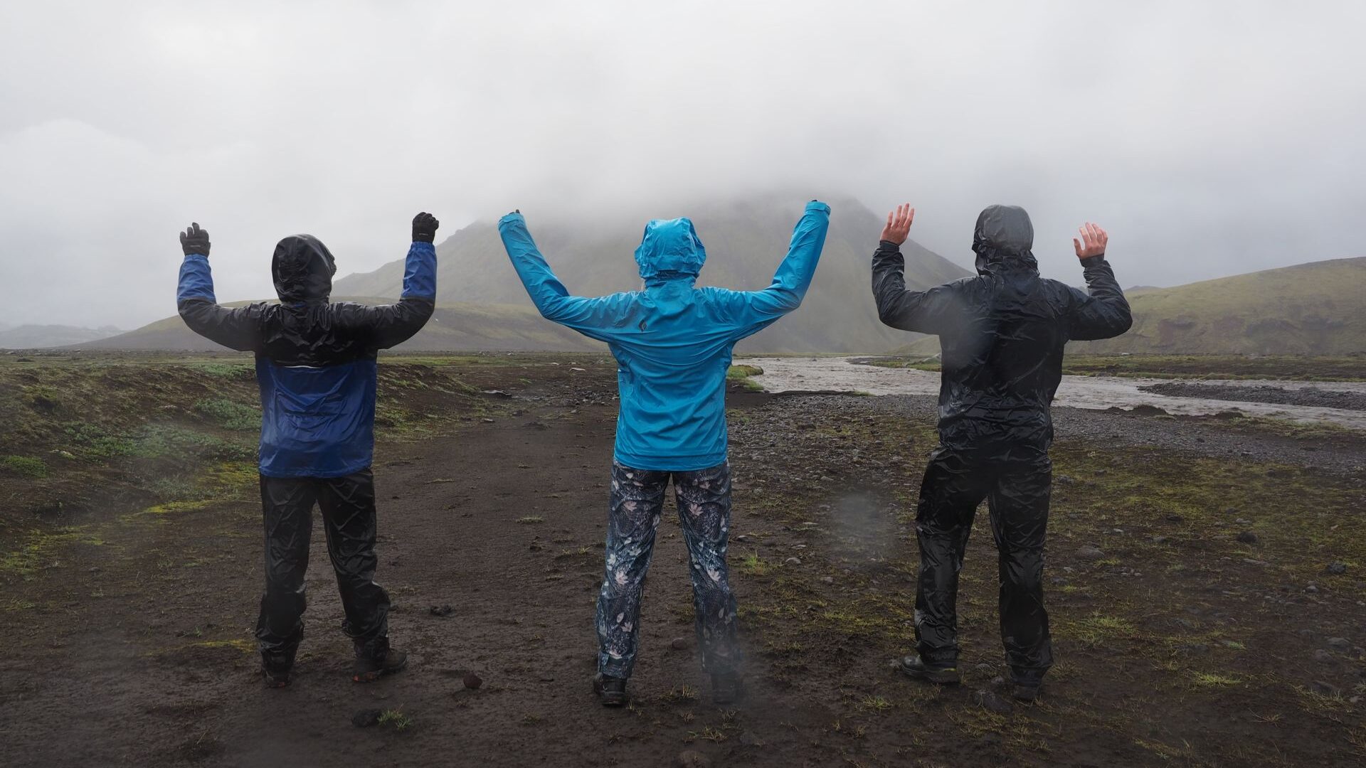
Looking back, we were glad we listened.
We continued through heavy rain, crossed another large river and eventually reached Hvanngil. Our tents went up in a downpour. Nearby stood a small hut where hikers could cook and dry their gear. Reaching it required crossing a stream and climbing a ladder into what looked more like a chicken coop than a mountain shelter.
Inside, however, it was dry.
Outside, the rain kept falling sideways.
Day 3 | Hvanngil to Emstrur
When we woke up, it was still raining.
And it kept raining.
For most of the day we hid inside the tiny hut, waiting for the weather to improve. A German couple and a French cyclist had the same idea. Hours passed. Rain hammered the roof. Nobody seemed eager to leave.
Finally, around 3 PM, the downpour eased enough for us to start walking.
The first challenge came immediately. A large glacial river blocked the route. A map in the hut showed the safest crossing point, and after some searching we found it. Even there, the current was strong enough that we crossed in pairs for extra stability.
The water was brutally cold.
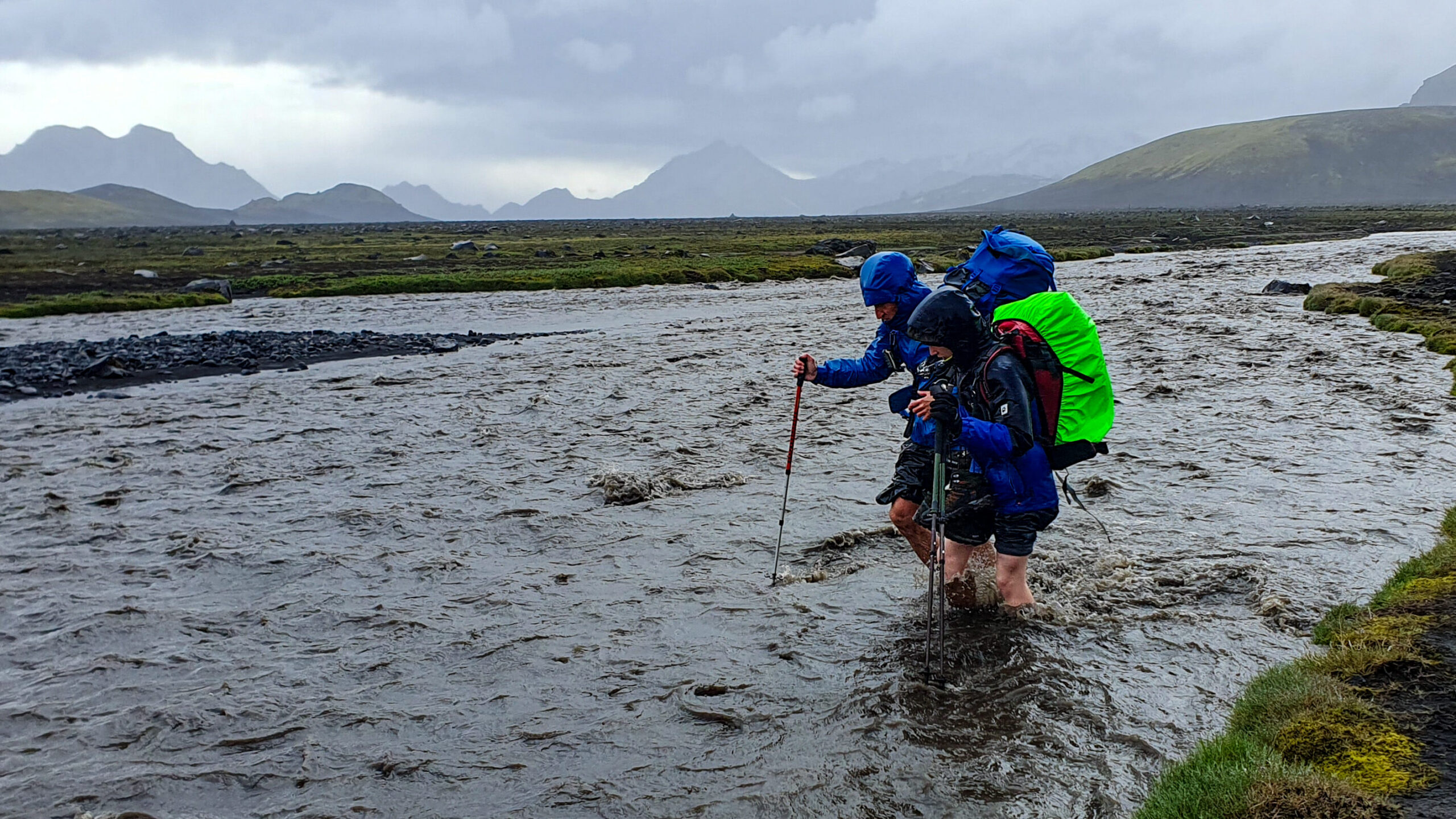
Putting on warm socks afterward felt like a luxury.
Beyond the river stretched a vast volcanic desert. Black gravel covered the landscape in every direction. For the next several kilometers we walked through what felt more like a lunar landscape than anywhere on Earth.
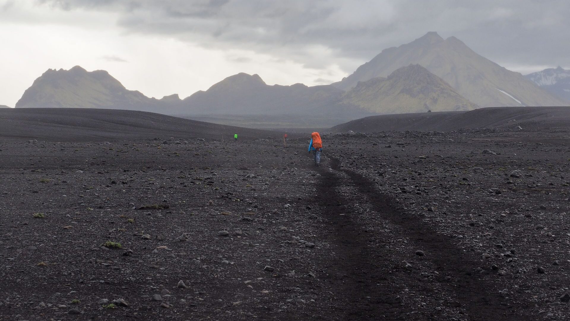
Rain and wind accompanied us most of the way.
Eventually the clouds began to break apart. A lonely volcanic cone appeared on the horizon, rising from the empty plateau.
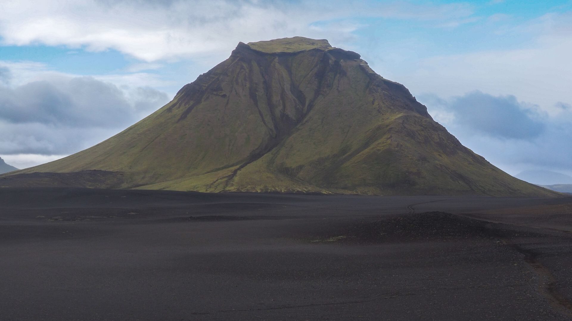
We passed it and continued toward Emstrur, scanning the distance for any sign of the hut.
Nothing.
Then suddenly we reached a ridge.
The view beyond stopped us in our tracks.
Green mountain slopes unfolded below us, streaked with patches of lingering snow. To one side lay a glacier with a long ice tongue reaching down into the valley. After days of volcanic deserts and bad weather, the landscape felt almost impossibly beautiful.
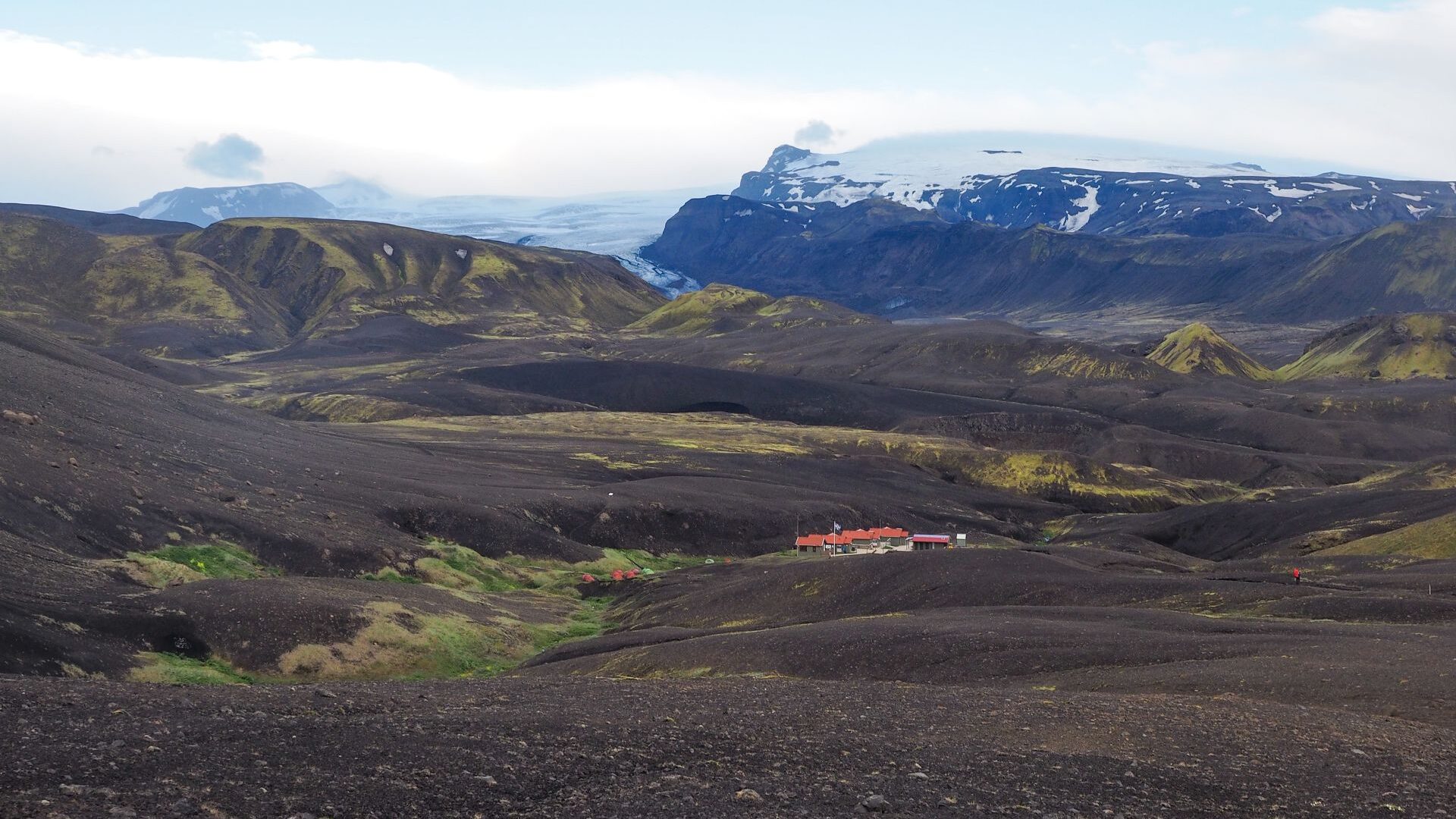
Day 4 | Emstrur to Þórsmörk
For the first time in days, we started the morning in good weather.
The landscape was changing again. Green moss covered the ground, mixed with shades of yellow and light brown. The rounded hills looked almost artificial, as if someone had shaped them from modeling clay.
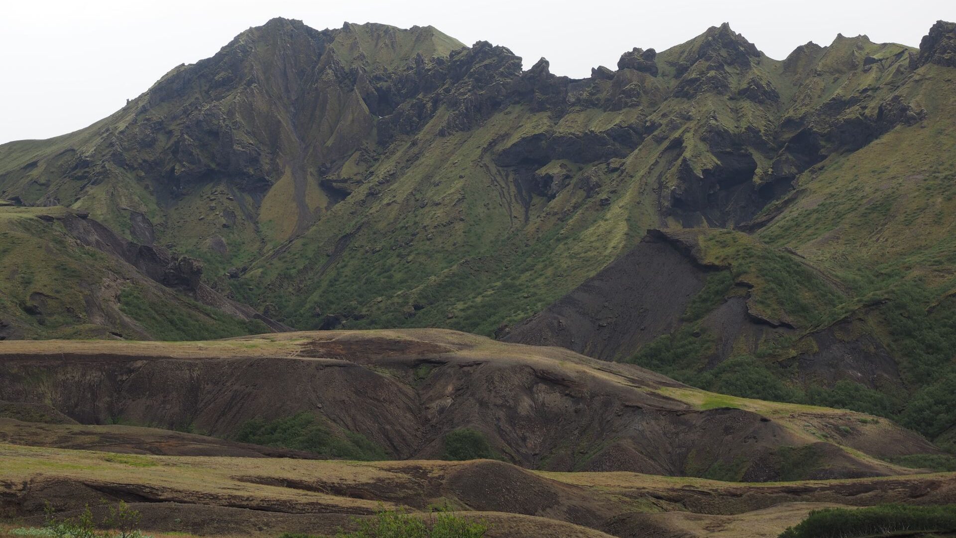
The trail gradually descended into a broad valley filled with gravel plains and braided rivers. From above, many of the streams looked small and harmless.
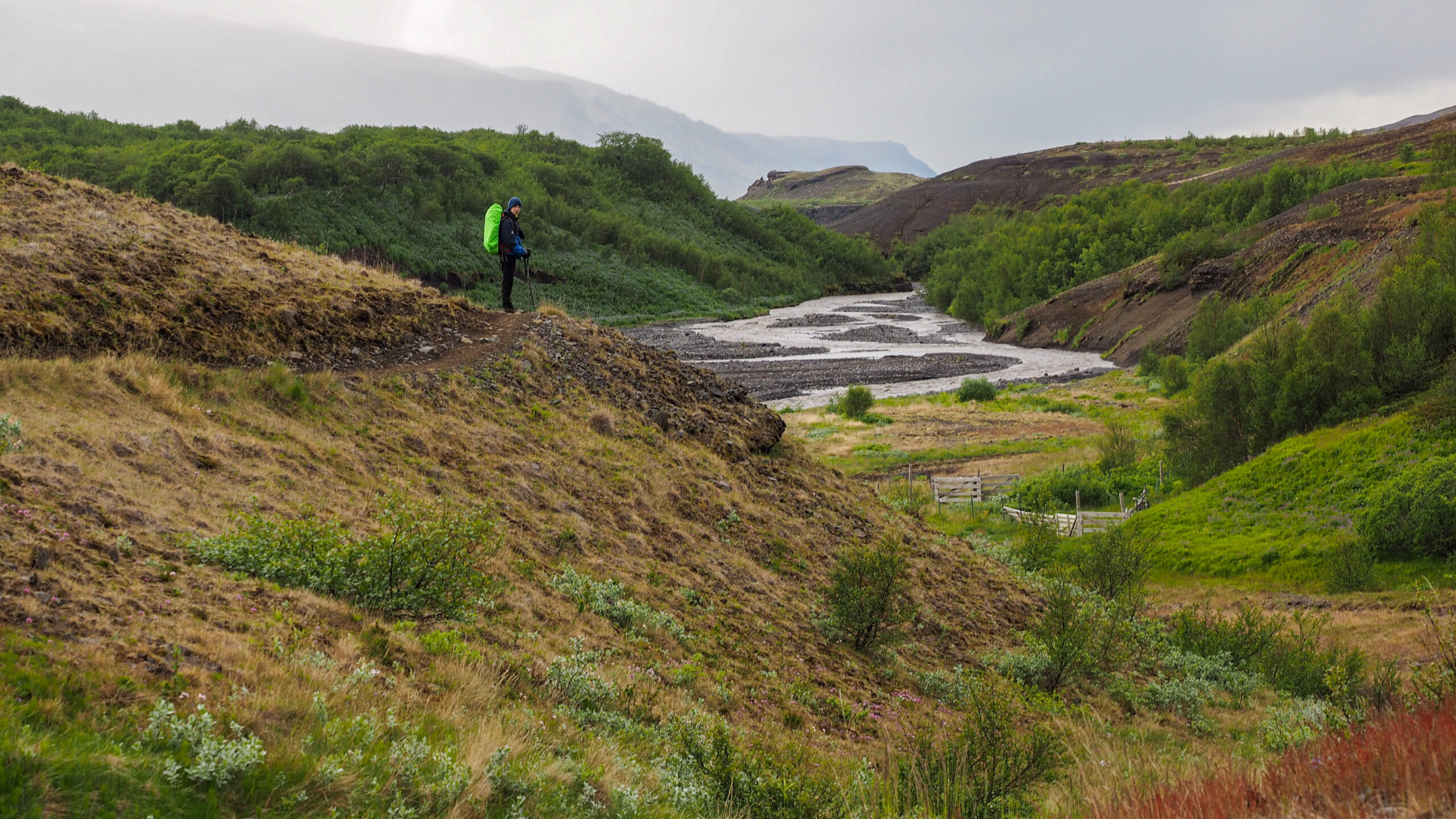
Closer up, they turned out to be neither.
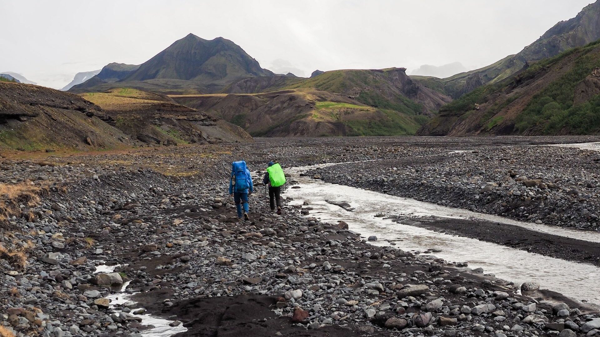
Several river crossings awaited us during the day. The water was icy cold and the current often stronger than anything we had encountered earlier on the trek. As before, we crossed together whenever conditions looked difficult.
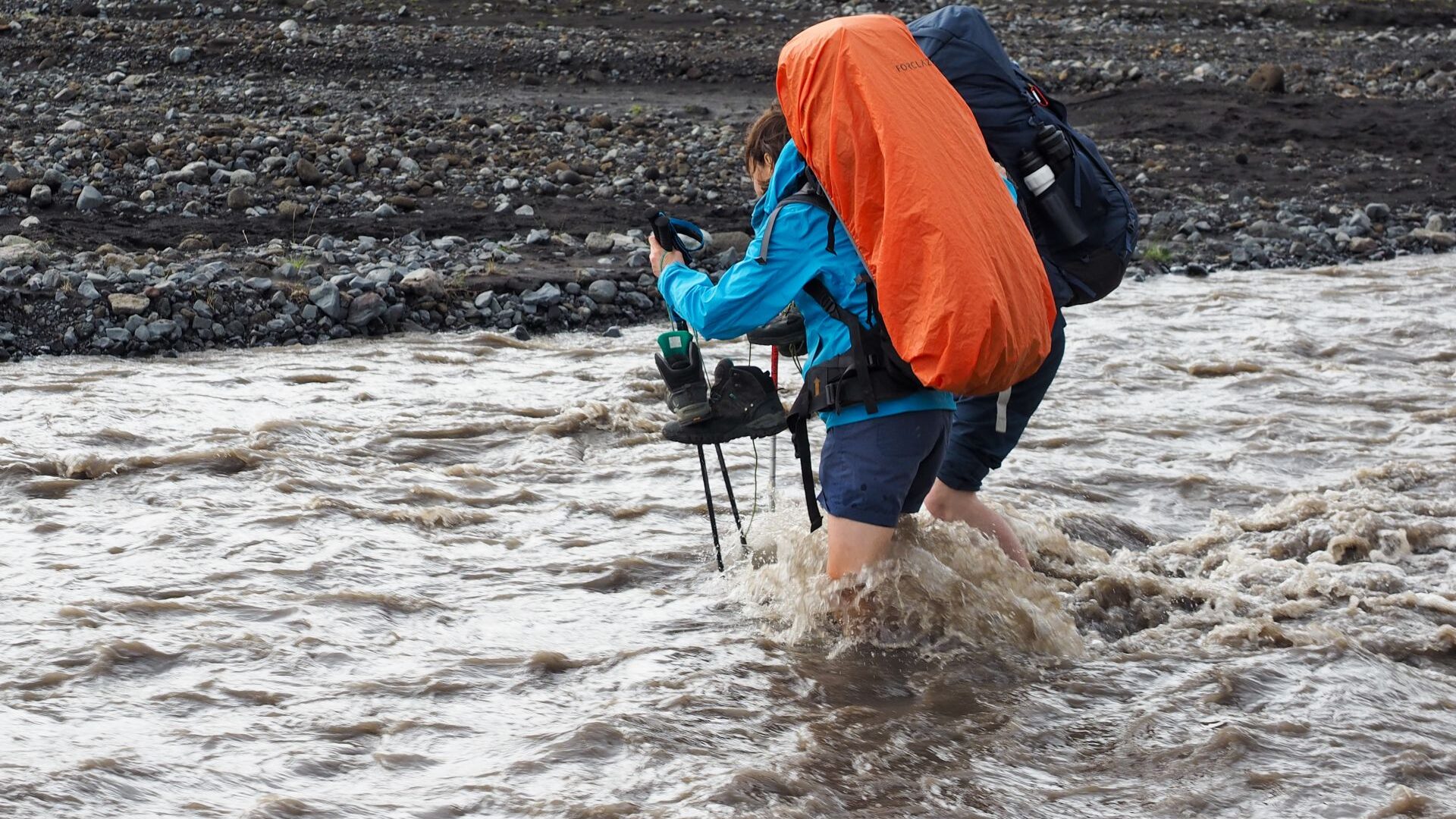
Slowly the valley narrowed and vegetation became denser.
Then, almost without warning, we entered Þórsmörk.
After days of volcanic deserts, snowfields and barren highlands, the sudden greenery felt astonishing. Trees appeared. Bushes appeared. Everything looked alive. It was hard to believe we were still in Iceland.
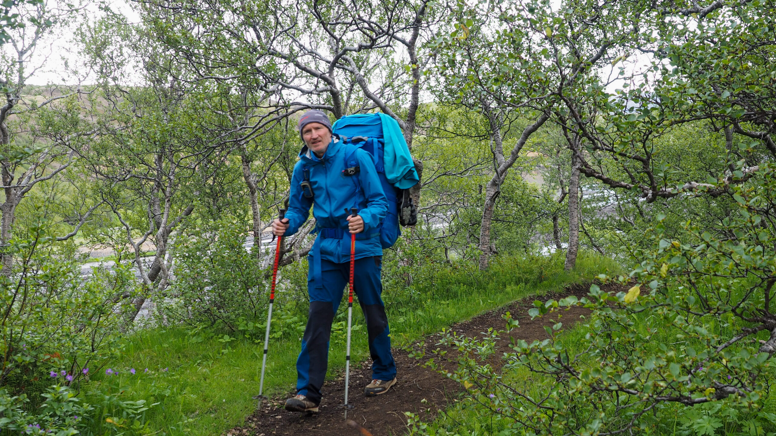
We pitched our tents surrounded by green vegetation and spent the evening at the mildest campsite we had seen since leaving Landmannalaugar.
The Laugavegur Trail was over.
Day 5: Leaving Þórsmörk
We had planned to spend the next day exploring the trails around Þórsmörk. Instead, heavy rain settled over the valley and continued for most of the day.
We spent the day inside the mountain hut, reading, eating and watching hikers come and go through the rain.
At 7 PM, the bus finally arrived.
And this was no ordinary bus. It was a modified Mercedes designed to cross rivers and handle the rough terrain of the Icelandic highlands.
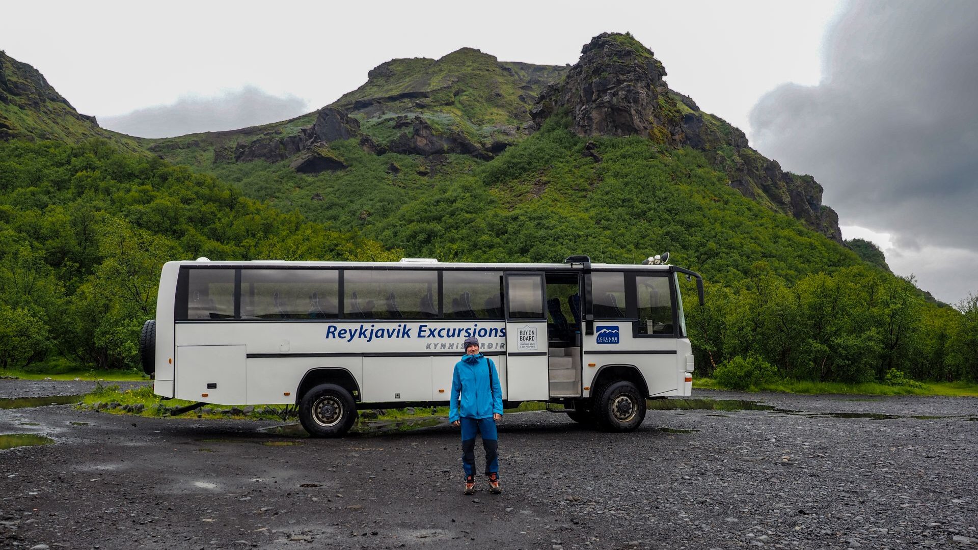
The journey back from Þórsmörk turned out to be an adventure of its own. We drove straight through more than twenty rivers, some shallow, others surprisingly deep.
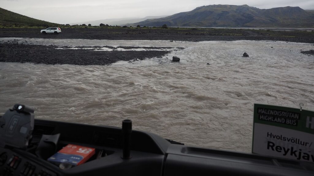
By late night we were back in Reykjavík.
It was time to leave the trail behind and begin the second half of our Iceland adventure.
At 2 AM, while doing laundry and drying our gear, I could hear birds singing outside. It felt strange. The sky was still bright and the city never seemed to fall completely asleep.
South Coast & Glaciers
Day 6 | Reykjavík to Þingvellir
After several days on the trail, it felt strange to be back in Reykjavík.
We had a few hours before collecting our rental car, so we explored the city and visited FlyOver Iceland. Strapped into moving seats, we flew over glaciers, mountains, waterfalls and canyons. We could feel water spray on our faces and even smell the landscapes below. It was one of the most memorable attractions of the trip.
In the afternoon we picked up the car, bought supplies and headed for Reykjadalur, Iceland’s famous hot river. The walk into the valley took about an hour. The river was pleasant, although perhaps more interesting in theory than in reality. The air was cold, the rocky riverbed uncomfortable underfoot and there were plenty of people around.
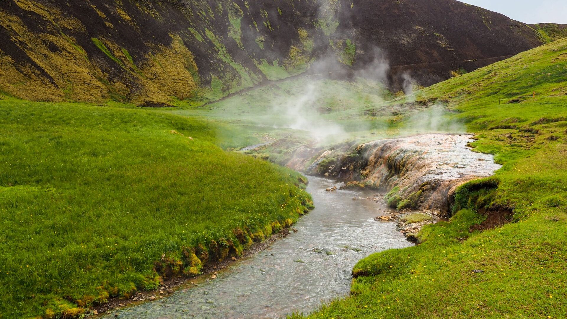
That evening we drove to Þingvellir and spent the night at a simple municipal campsite.
Day 7 | Golden Circle & Skógar
We woke to a dry morning.
After a walk around Þingvellir, we continued along the Golden Circle. The crystal-clear water in the rift attracted plenty of divers, and despite the crowds it was a beautiful place to explore.
Our next stop was Geysir. Unfortunately, we arrived at the wrong moment. The geyser seemed to be asleep, and rain soon encouraged us to move on.
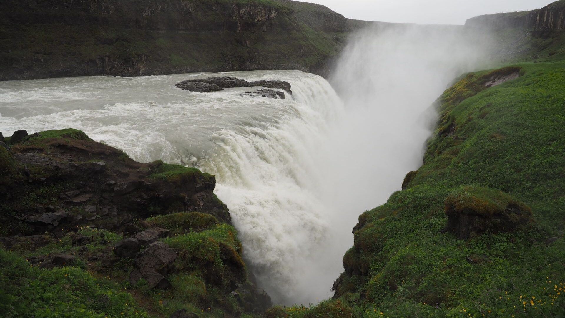
Gullfoss was a different story. The waterfall was powerful and impressive, with huge volumes of glacial water crashing into the canyon below. Spray filled the air. Rain fell from above. By the time we left, we were completely soaked.
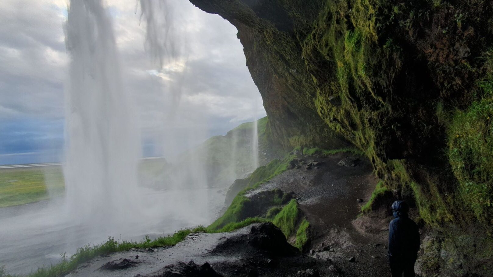
Later we stopped at Seljalandsfoss. From a distance it looked smaller and less dramatic than many Icelandic waterfalls, but it turned out to be well worth the visit.
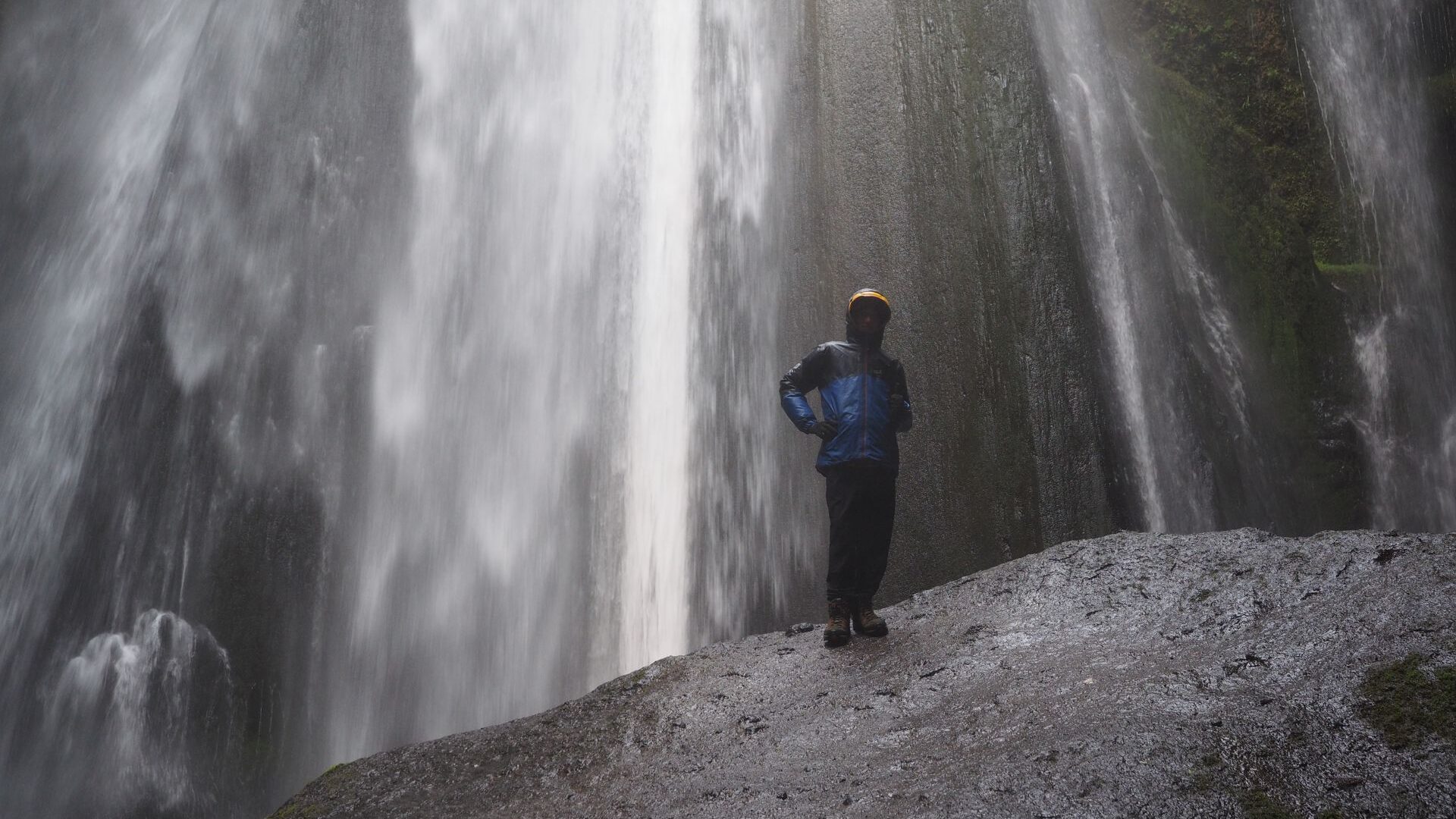
Just beyond it we discovered a hidden waterfall tucked inside a narrow canyon.
That evening we camped beneath Skógafoss. The waterfall plunged directly onto the flat ground below, sending mist and spray in every direction.
Day 8 | Fimmvörðuháls Day Hike
For the first time in days, we woke to blue skies and sunshine.
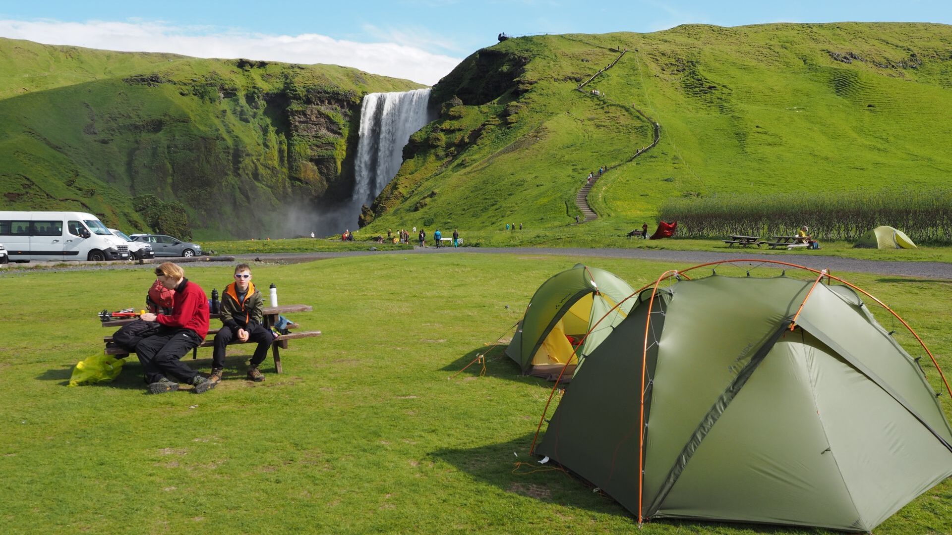
After a proper breakfast, we left camp and started hiking up beside Skógafoss. A long staircase climbed alongside the waterfall before joining the Fimmvörðuháls Trail.
The route followed the Skógá River upstream. Waterfall after waterfall appeared along the valley. Some were tall and narrow, others wide and powerful. The scenery kept changing and there was always another cascade waiting around the next bend.
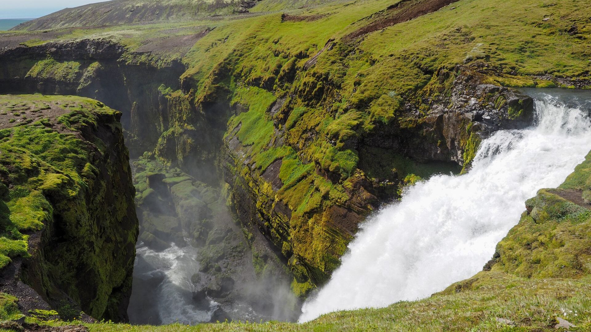
We continued as far as a bridge before turning back. It wasn’t the full Fimmvörðuháls crossing to Þórsmörk, but it was one of the most enjoyable day hikes of the trip.
As we returned to camp, the weather changed again. Light rain arrived, the wind strengthened and temperatures dropped quickly. By evening, gusts were blowing lids off cooking pots around the campsite.
Day 9 | Black Beaches & First Glacier Views
The weather was back to its usual Icelandic form. Wind and rain made breakfast a quick affair, eaten standing beside the car.
Our first stop was Dyrhólaey, followed by the black beach at Reynisfjara. The famous sneaker waves never appeared, but the basalt columns along the beach were impressive.
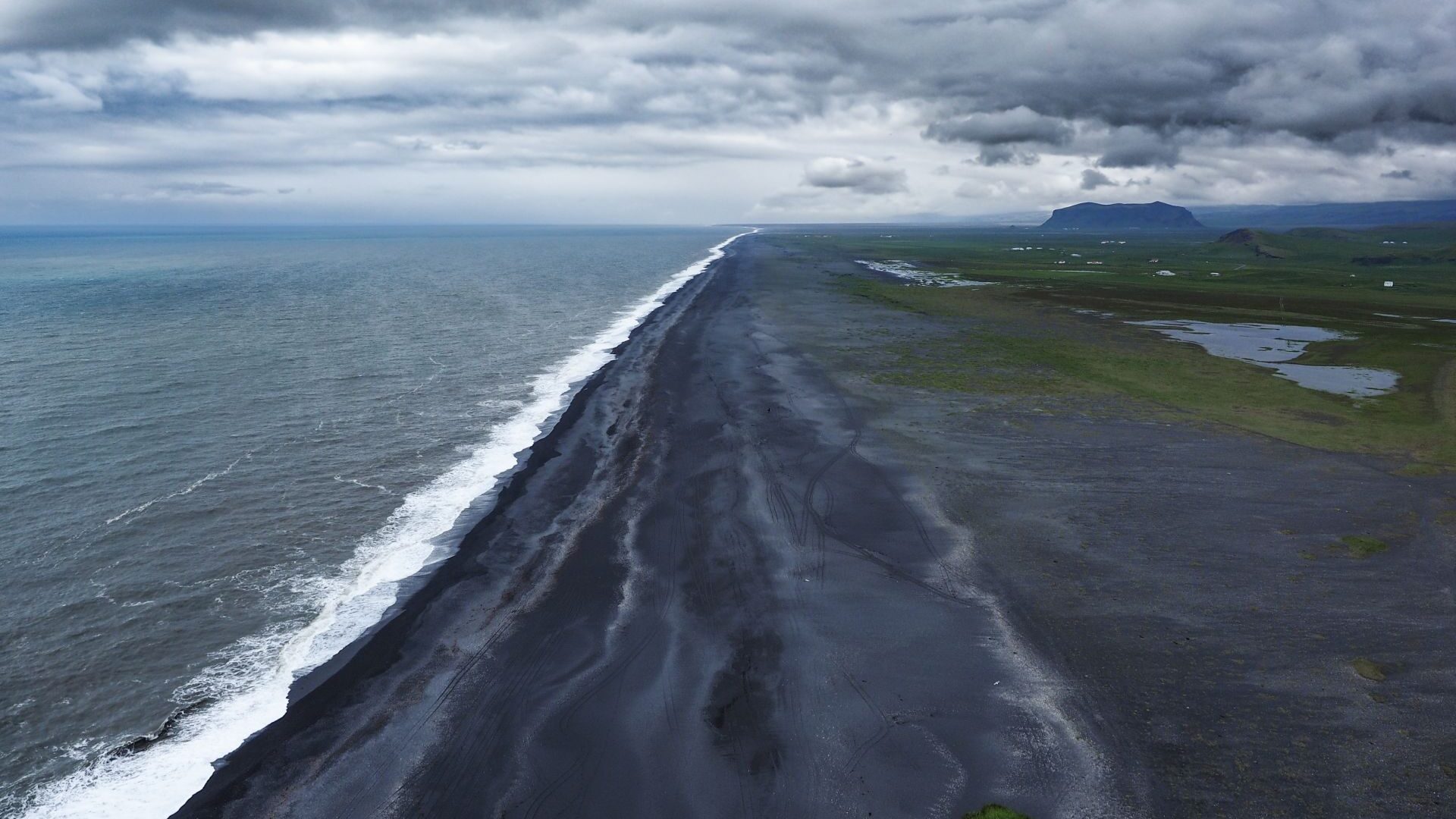
The highlight of the day was Yoda Cave. It was a short stop, but one of our favourite places on the South Coast.
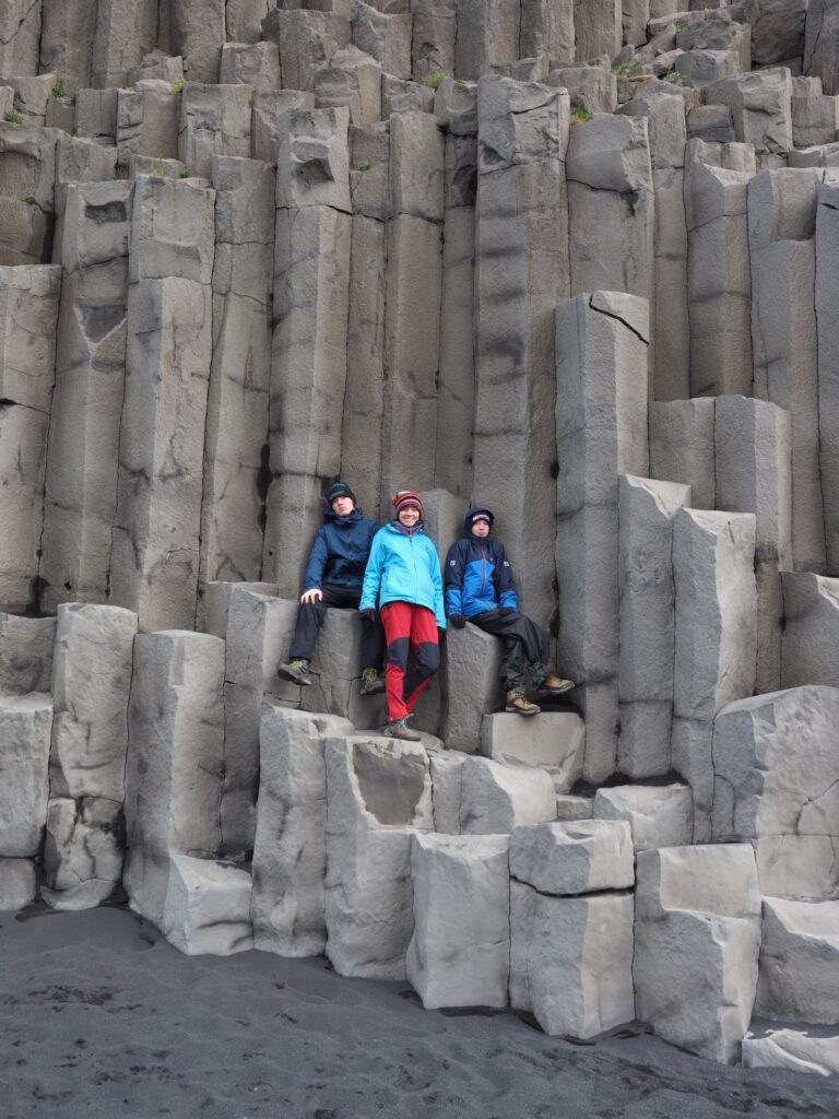
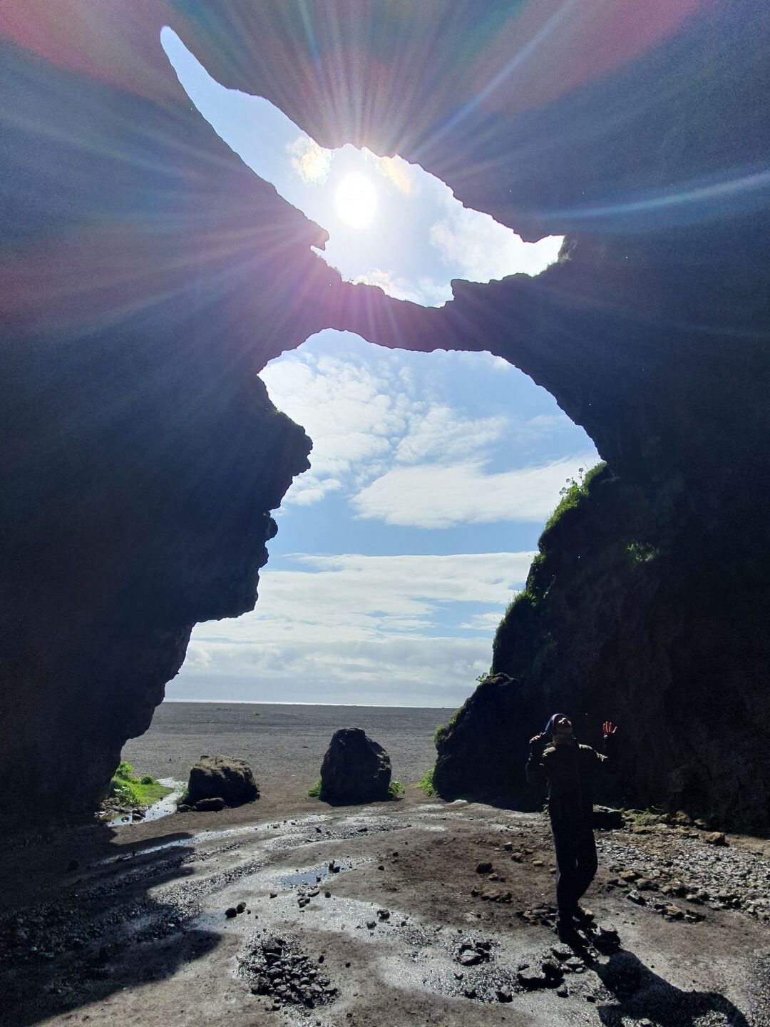
By evening we reached Skaftafell. Ahead of us, for the first time, we could see one of Iceland’s great glaciers stretching across the landscape.
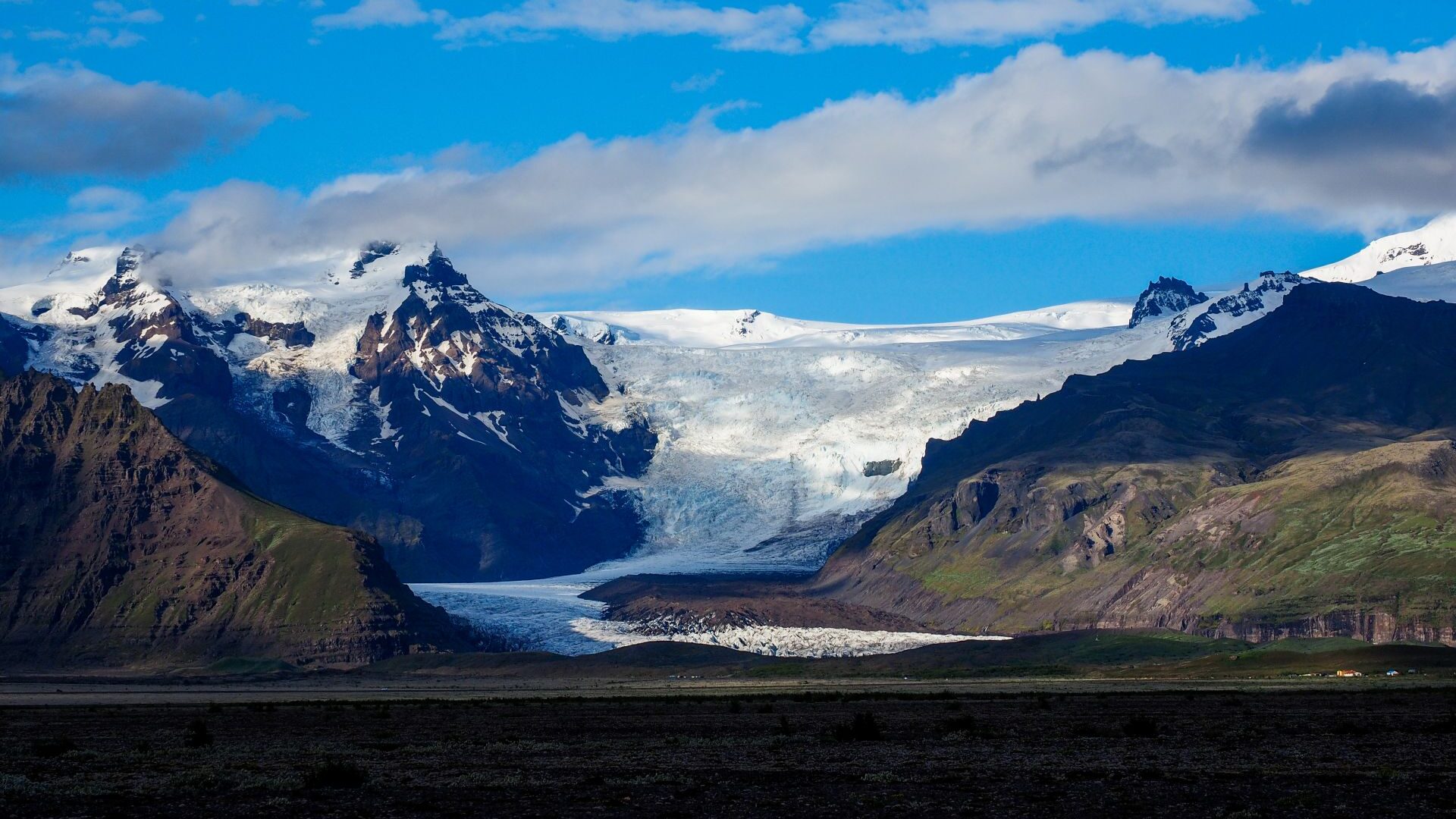
Day 10 | Glacier Hike & Icebergs
In the morning we joined a guided glacier hike in Skaftafell National Park.
After collecting helmets, crampons and ice axes, we boarded a bus and drove to the glacier tongue. Walking on the ice felt completely different from anything we had experienced before.
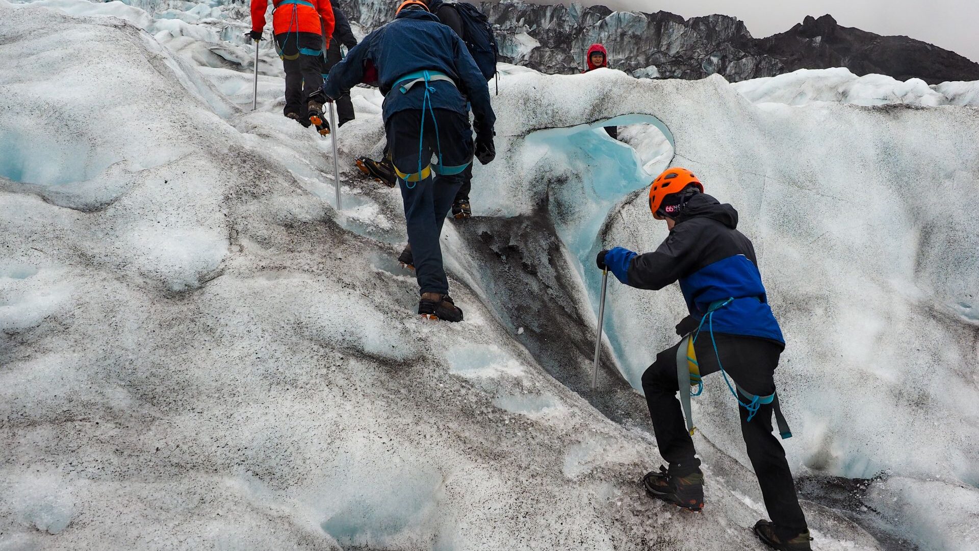
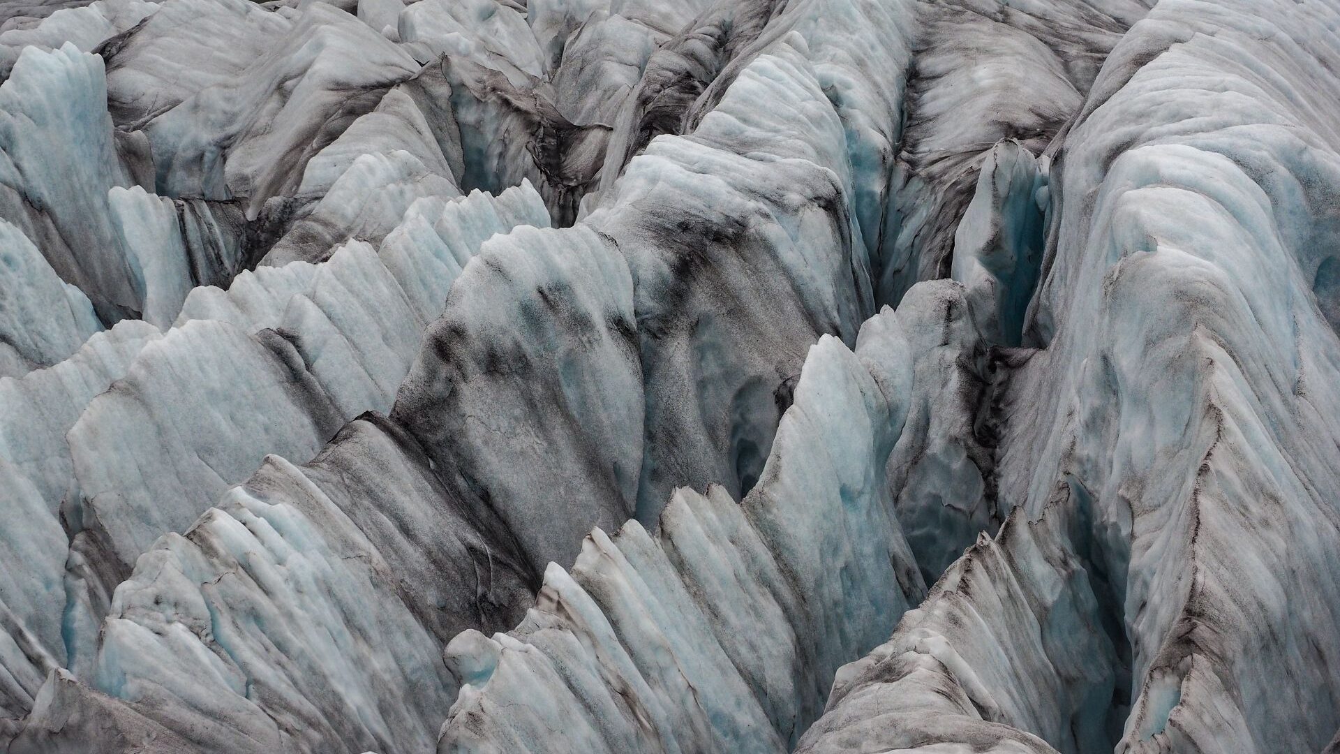
Deep crevasses cut through the glacier, while streams of meltwater disappeared into the blue ice below.
After the hike we continued east to Jökulsárlón.
Huge icebergs floated slowly across the lagoon before drifting out to sea.
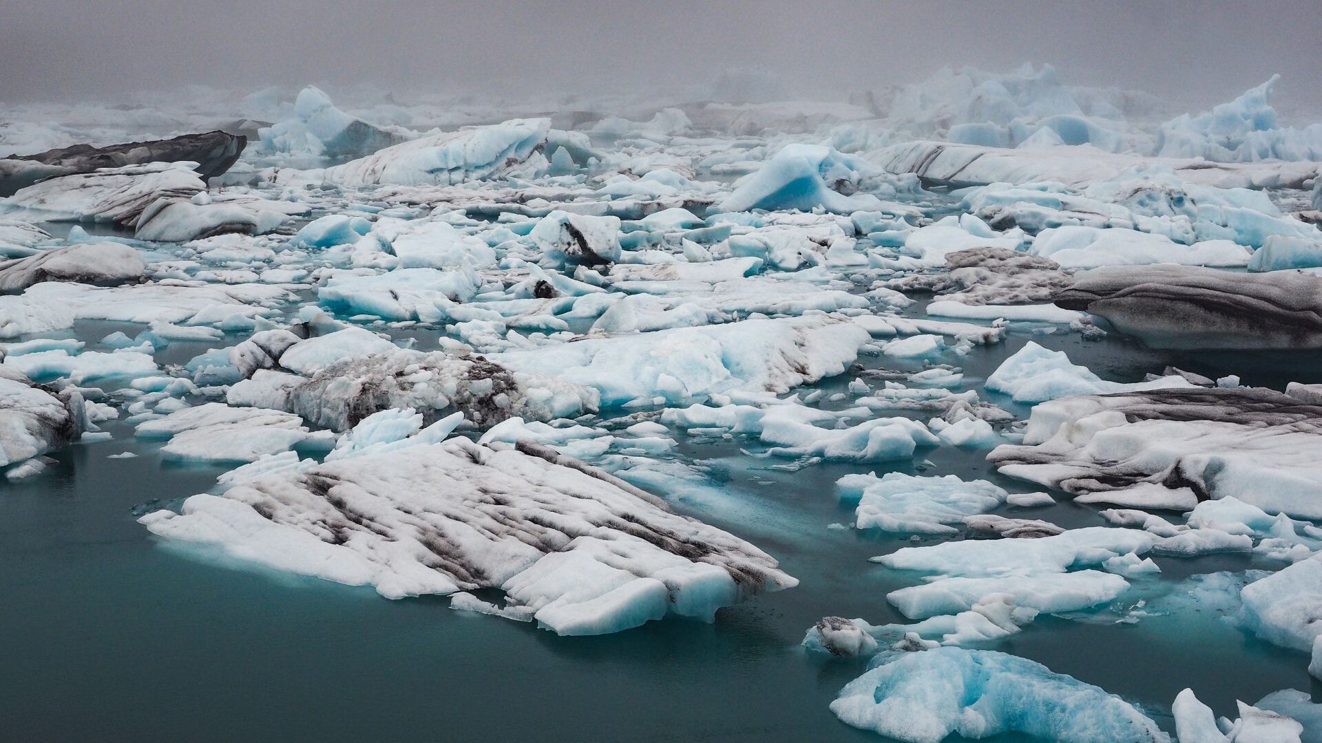
A little further away, chunks of ice lay scattered across Diamond Beach, shining against the black sand.
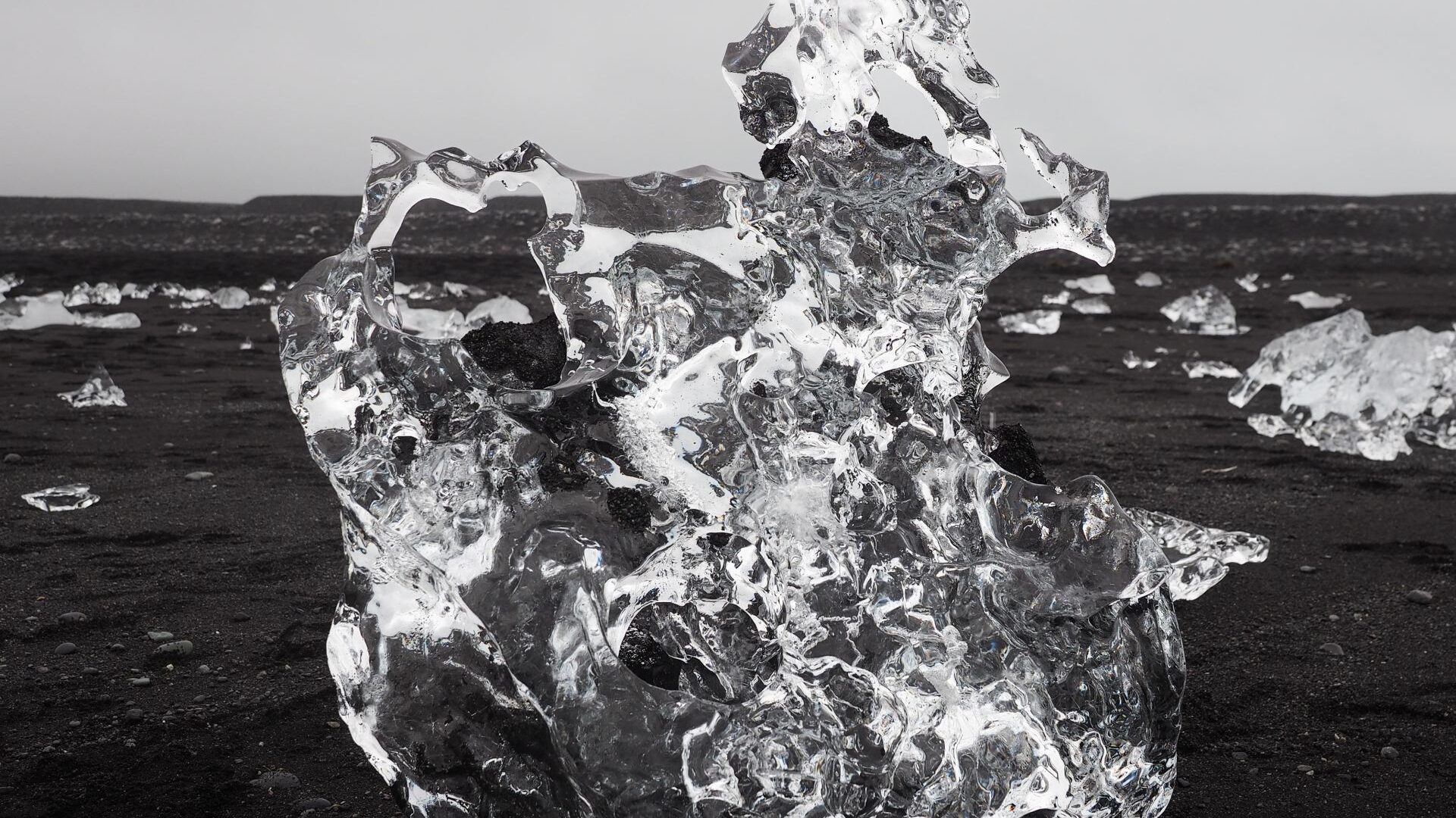
It was a truly iconic Icelandic landscape.
East Iceland & The North
Day 11 | Into the Foggy Eastfjords
We had planned to explore the Eastfjords.
The morning started with clear skies and good visibility. As we drove towards the Eastfjords, however, we noticed a huge cloud stretching across the valleys ahead of us.
We drove straight into it.
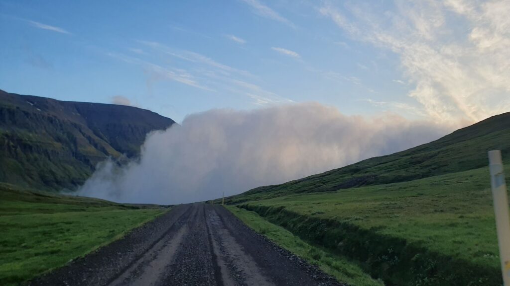
Within minutes the views disappeared completely.
The gravel road followed steep cliffs high above the ocean, but visibility was so poor that we could barely see beyond the edge of the road.
Somewhere along the way we discovered a hidden waterfall. A narrow muddy path led upwards through several cascades and small waterfalls. The fog remained thick the entire time, giving the place a mysterious atmosphere.
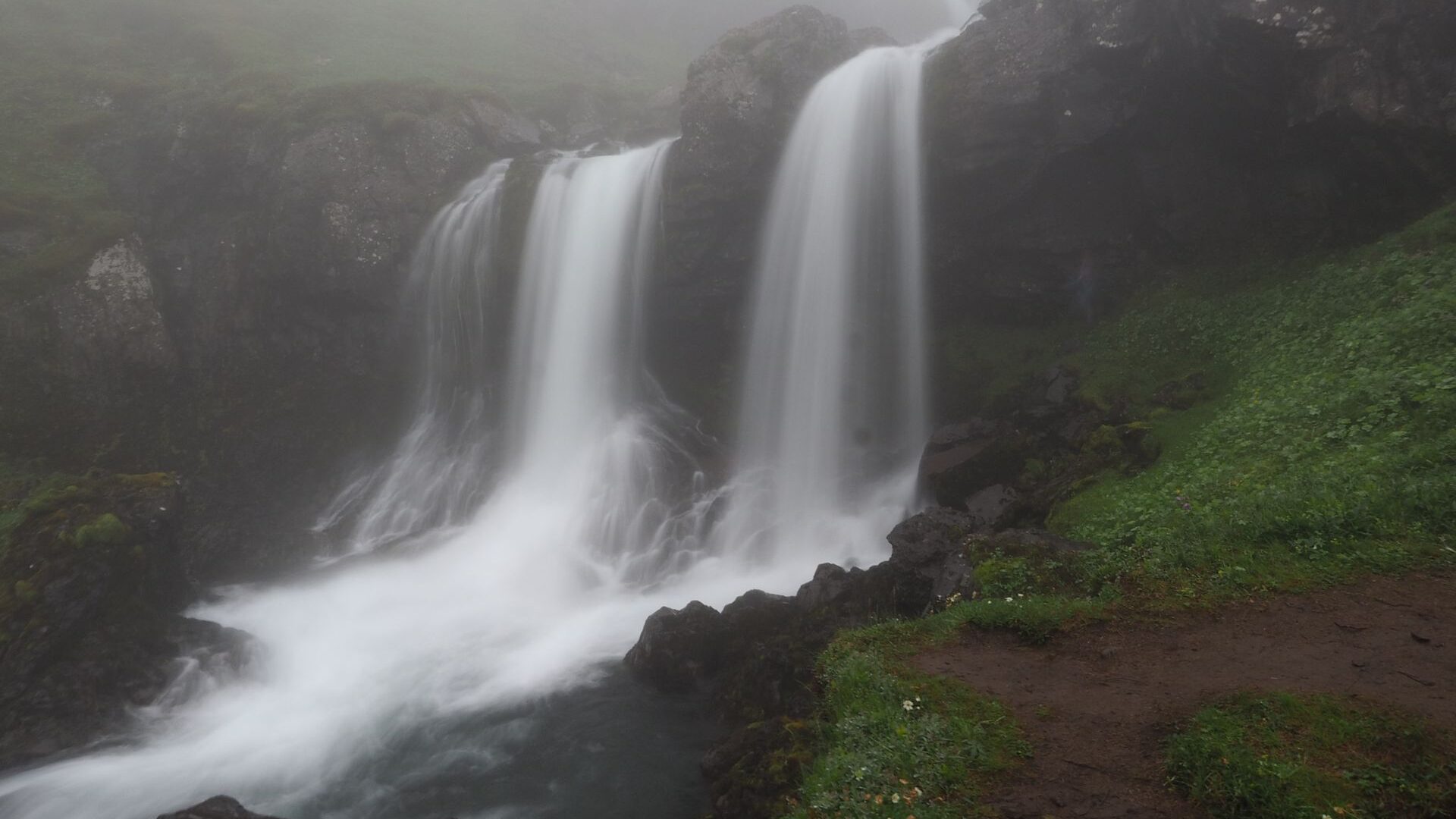
That evening we camped beside a lake near the canyons we planned to visit the following day.
Day 12 | Canyon Country
The next day was all about canyons.
The drive itself was spectacular. We followed a remote gravel F-road deep into the Icelandic interior.
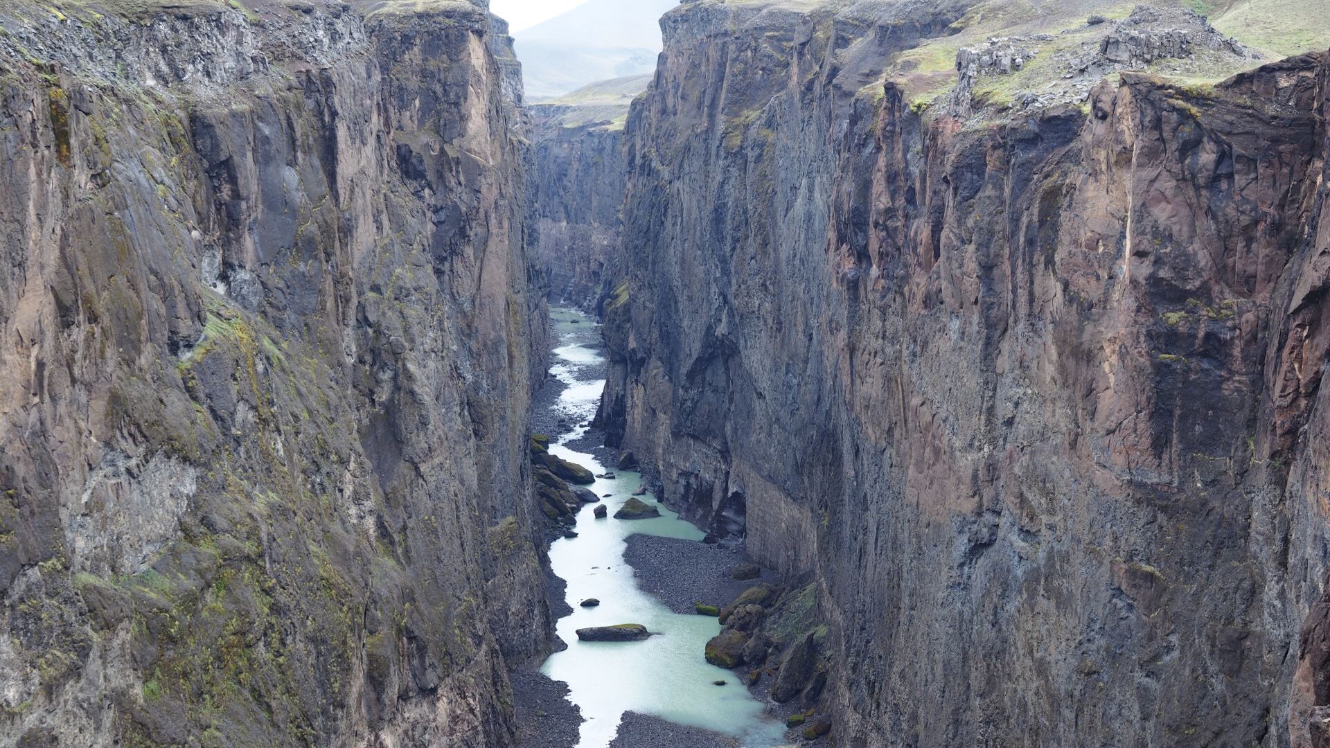
Our first destination was Hafrahvammagljúfur. The canyon was enormous, deep and dramatic. We spent some time walking along the rim, looking down into the vast gorge below. Signs warned visitors not to descend into the canyon itself.
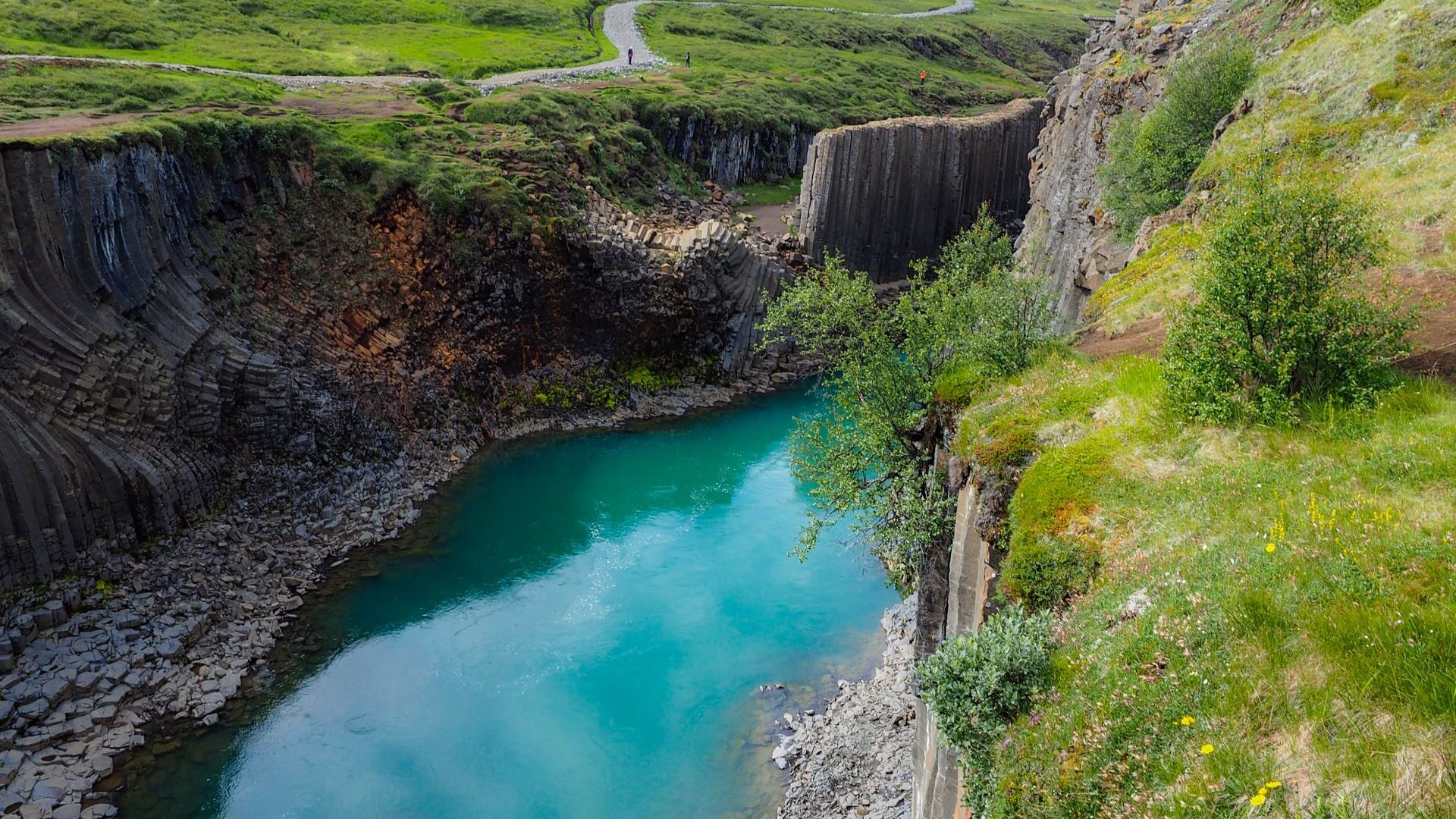
Later we continued to Stuðlagil.
The basalt columns surrounding the river were unlike anything we had seen before. We camped beside the canyon and looked forward to exploring it properly the next morning.
Day 13 | The Trek That Never Happened
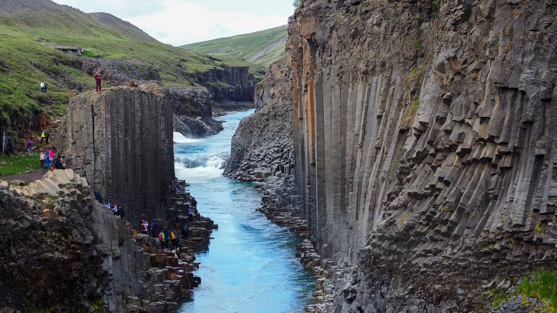
We began the day with a walk through Stuðlagil Canyon. The basalt formations were impressive, although the most spectacular section turned out to be too short.
Later we considered starting a two-day trek between Ásbyrgi and Dettifoss.
The plan changed after a conversation with a local guide. Snow was forecast, temperatures were expected to drop close to freezing and there was little shelter along the route. With questionable rain gear and uncertain weather ahead, we decided not to take the risk.
Instead, we drove to the place where we had originally planned to spend our first night on the trail.
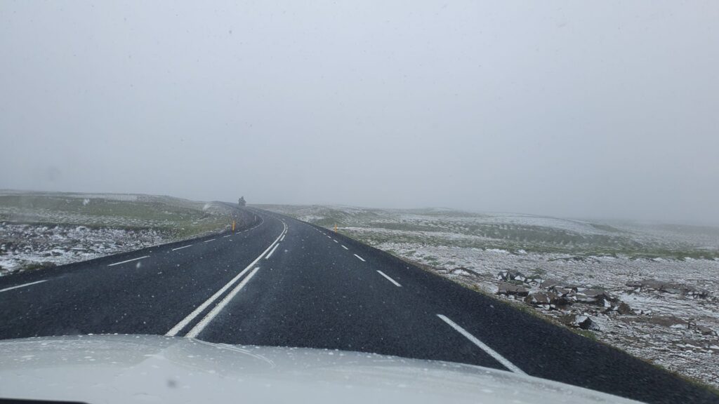
The evening was cold. We pitched our tents near a small information hut and later received a mild scolding from a ranger. Fortunately, she allowed us to stay.
Day 14 | Rain, Steam and Hot Springs
We woke to heavy rain and near-freezing temperatures.
Packing wet tents in the cold was not much fun, so our first stop was a petrol station where we warmed up with breakfast. The burgers had been excellent the day before, and the breakfast was just as welcome.
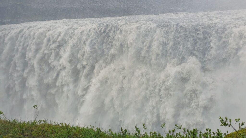
Despite the weather, we continued north. Our first stop was Dettifoss. Rain poured down, the wind was strong and we were soaked within minutes. Even so, the waterfall was worth it.
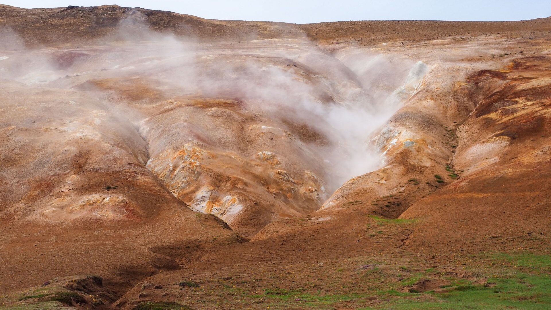
Later we visited the geothermal area near Lake Mývatn. Steam rose from the ground, sulphur filled the air and the landscape looked almost otherworldly. The rain had stopped, but the temperature remained only a few degrees above zero.
We finished the day among lava fields and volcanic craters before rewarding ourselves with an evening at the Mývatn hot springs.
After one of the coldest days of the trip, soaking in warm water felt perfect.
Day 15 | Across Northern Iceland
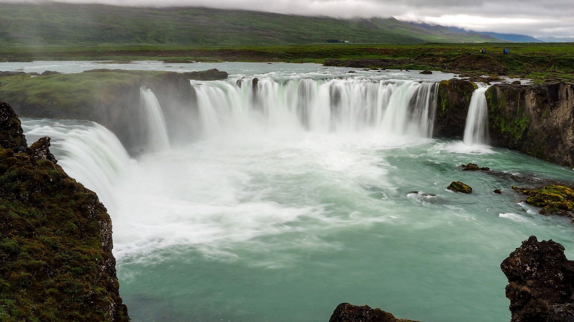
We started the day at Goðafoss.
The waterfall was beautiful and impressive, but the crowds took away some of the atmosphere. Tourist buses filled the parking area, and the site felt far more commercial than most places we had visited so far.
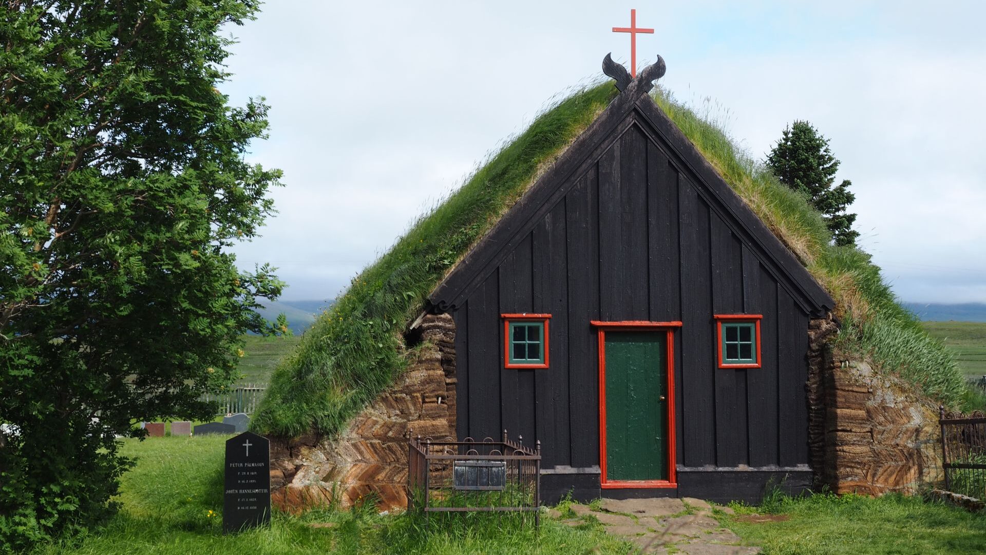
After a short stop in Akureyri for groceries, we continued west. Along the way we visited Víðimýrarkirkja, one of Iceland’s few remaining turf churches.
Later we made a detour to Hvítserkur, the famous „troll rock”. The drive required a long gravel-road detour and, honestly, we did not think it was worth the effort. The most memorable part of the stop was watching aggressive seabirds repeatedly dive-bomb the boys.
The rest of the day was spent driving towards the Westfjords.
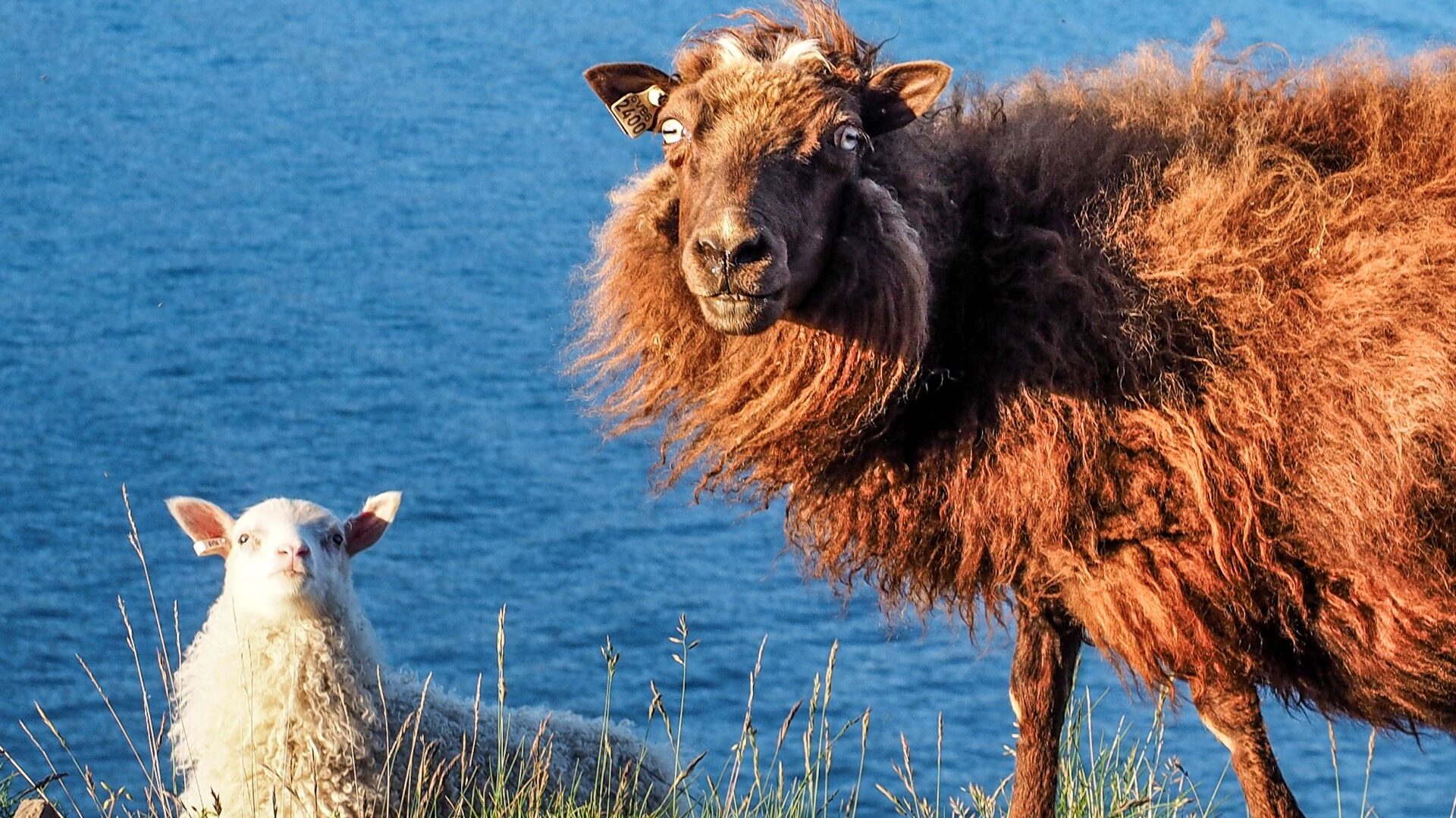
Kilometre after kilometre, we passed sheep grazing everywhere imaginable – on grassy hillsides, rocky slopes and beside the ocean.
Icelandic horses appeared just as frequently. We even spotted young foals running beside their mothers.
It was a long driving day. We finally reached our campsite in Drangsnes around 10 PM.
Westfjords & Return
Day 16 | The Heart of the Westfjord
The weather was finally on our side.
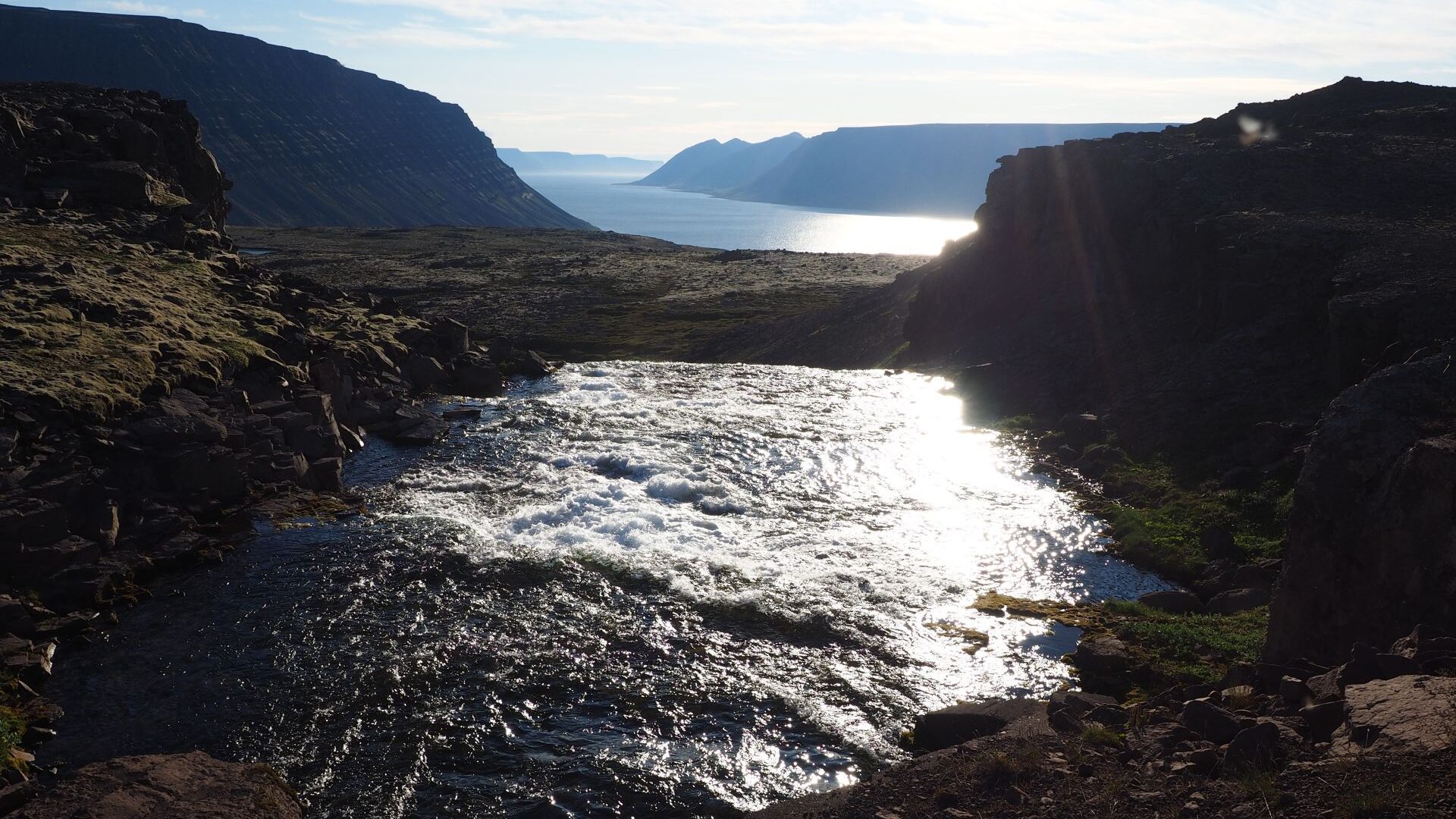
After breakfast, we followed winding roads along the Westfjords. Sometimes the road hugged the shoreline. At other times it climbed high above the ocean, revealing spectacular views across the fjords.
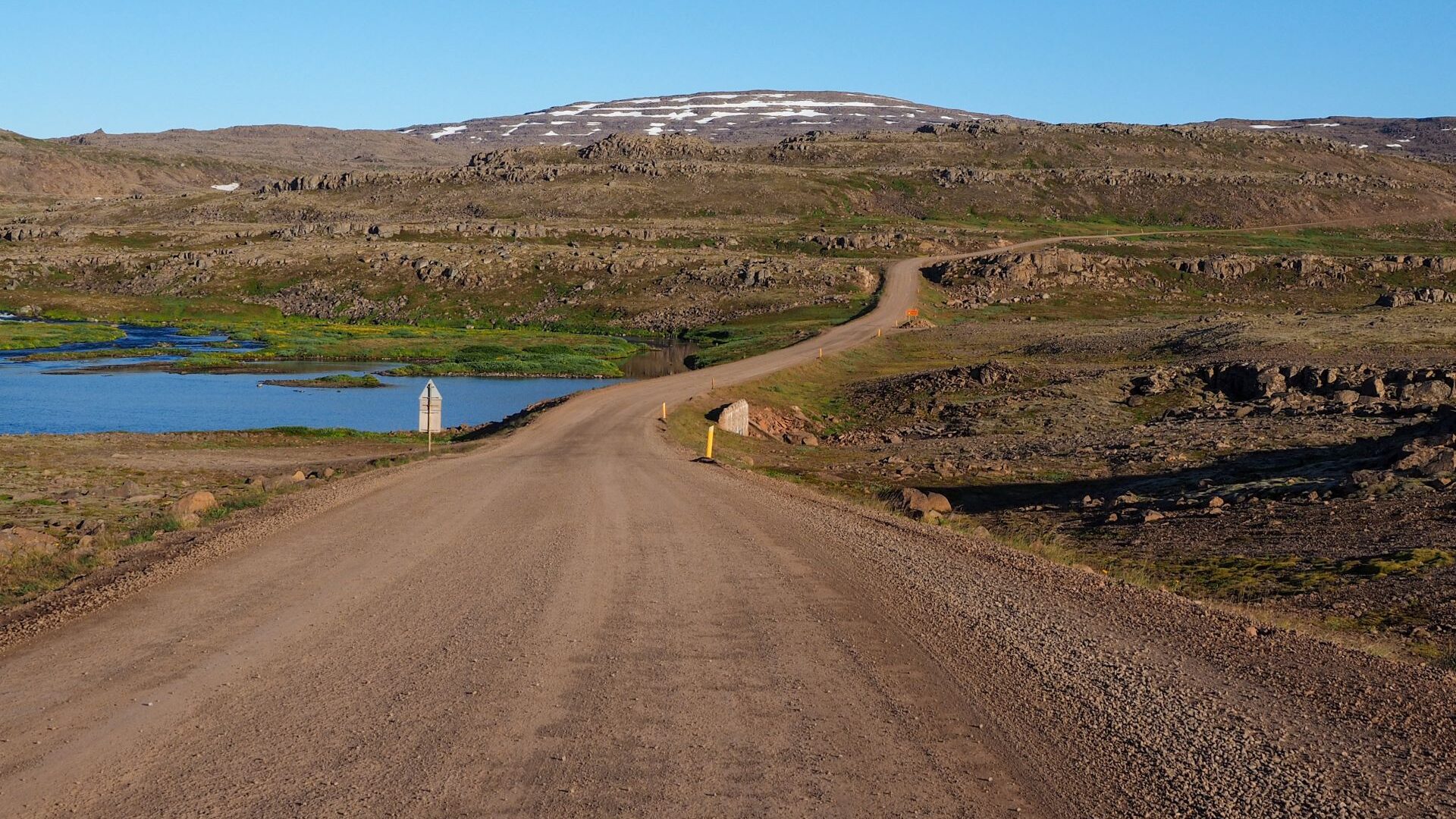
We deliberately chose the longer route, wanting to experience as much of the region as possible. Small fishing villages appeared one after another, each seemingly more remote than the last.
The highlight of the day was Dynjandi.
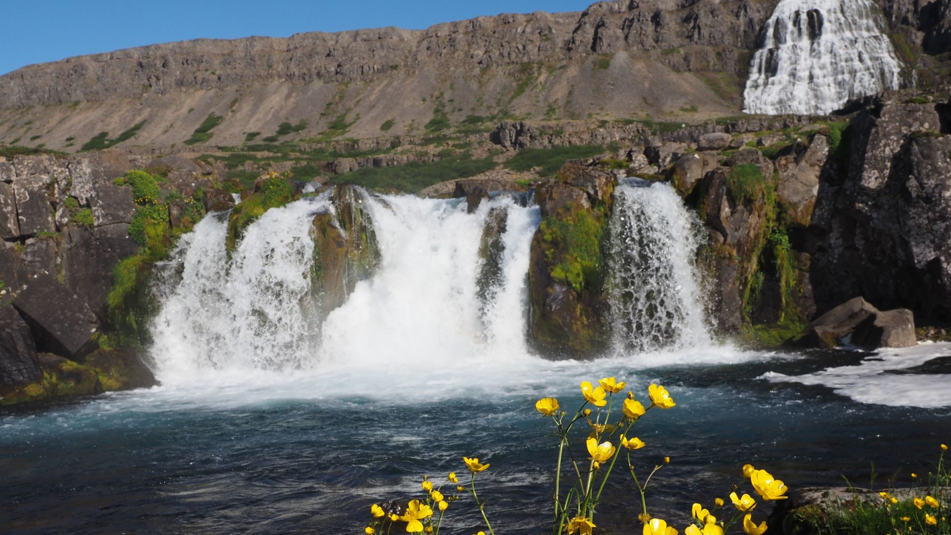
Several smaller waterfalls cascade down the mountainside before reaching the main waterfall at the top. From a distance it looks almost like a giant white curtain draped across the cliff.
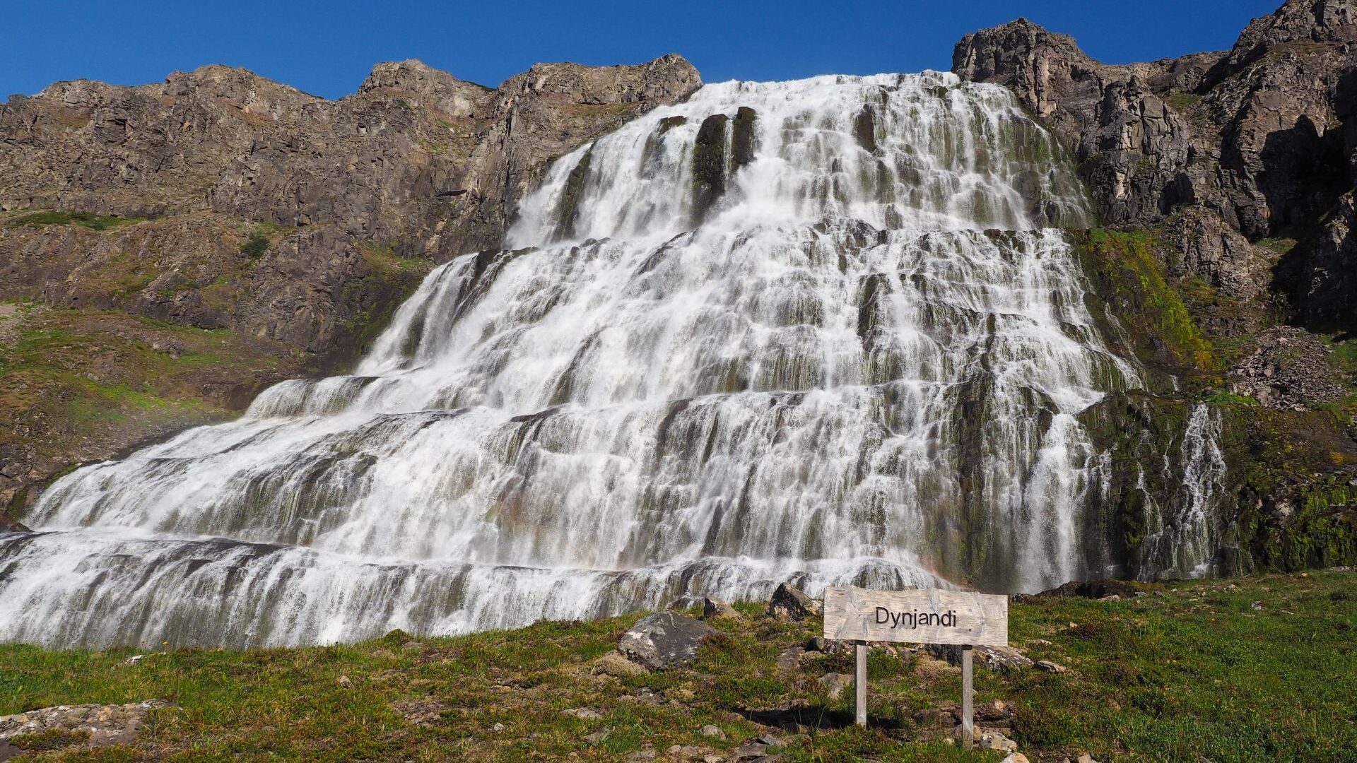
We climbed all the way to the upper viewpoint, drinking fresh water from the streams and enjoying the view over the fjord below.
That evening we reached the small fishing village of Bíldudalur, where we ended the day with a walk under the evening sun.
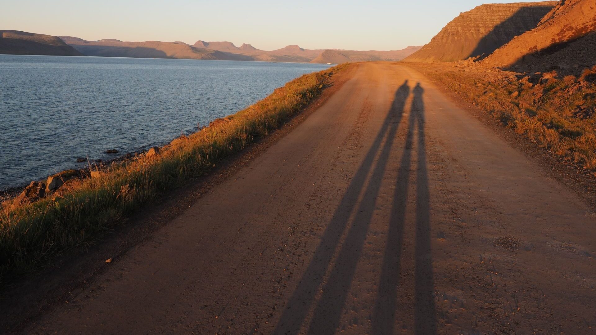
Day 17 | Puffins and Golden Sands
We left early for Látrabjarg, the westernmost point of Iceland.
The drive was long and mostly on gravel roads, but the destination was worth it. Látrabjarg is famous for its bird cliffs, and before long we spotted the star attraction – a puffin.
It looked almost unreal, like a small toy sitting calmly on the edge of the cliff. To photograph it, I had to lie down in the grass not far from the drop.
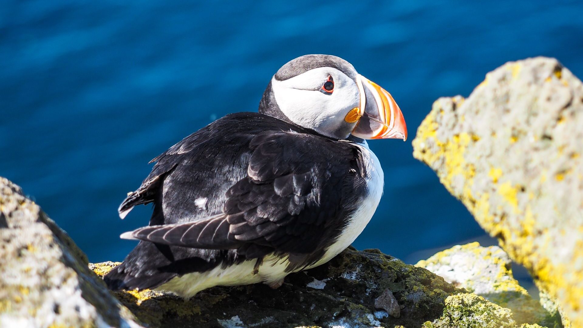
The cliffs stretched for kilometres. Thousands of seabirds nested along the vertical walls, filling the air with constant noise.
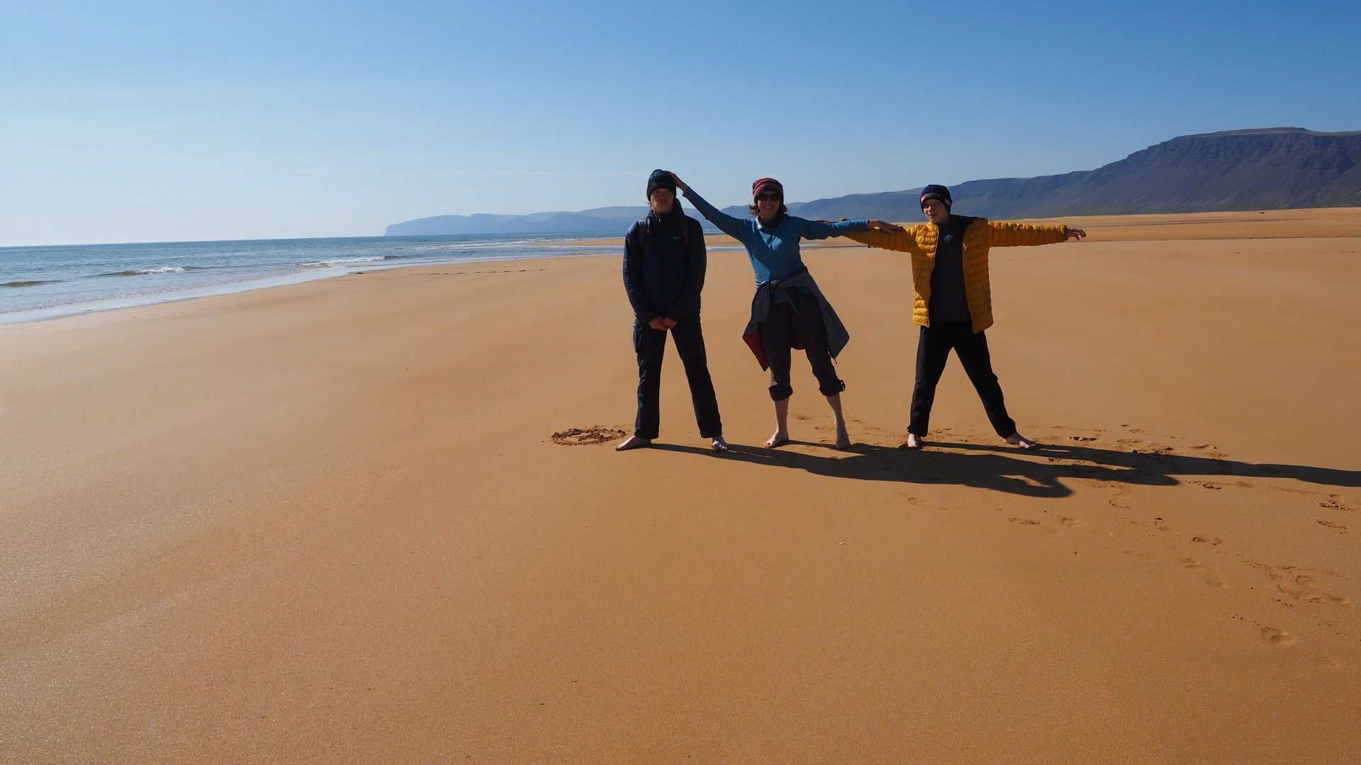
Later we visited Rauðisandur, one of Iceland’s few golden-sand beaches. The contrast with the country’s famous black beaches was striking. We spent some time walking along the shore and even waded into the ocean before cooking lunch on the beach.
That evening we stayed at a campsite in Djúpivogur. A young man, who introduced himself as the owner, showed us a large hangar with a kitchen and free hot showers. We didn’t need any more convincing.
Day 18 | Hot Springs, Seals and the Long Road South
The day began at Hellulaug, a tiny natural hot spring beside the ocean.
For the first time during the trip, the weather was warm enough to sit outside in swimsuits after a swim. We stretched out on our towels in the sunshine and enjoyed the moment.
Then came another long drive. We stopped briefly in Stykkishólmur before continuing through the Snæfellsnes Peninsula. Along the way we passed the famous Kirkjufell mountain and made a short stop at Rauðfeldsgjá Gorge, a narrow canyon hidden inside a cliff.
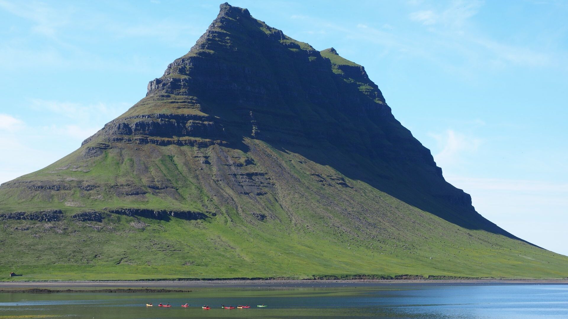
Our final destination was Ytri Tunga.
We spent several hours watching seals resting along the shoreline. At one point I became slightly too relaxed and learned an unexpected lesson about Icelandic tides.
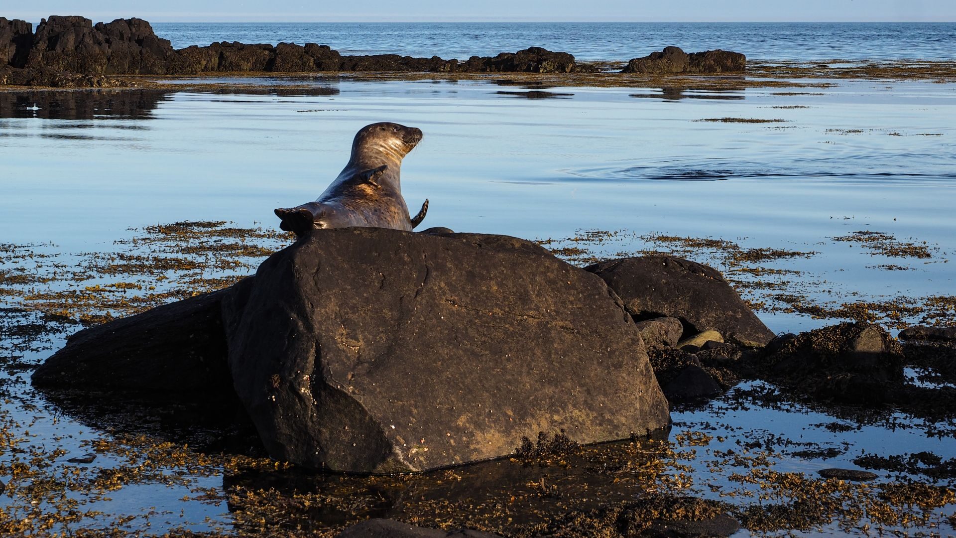
That evening we camped near Eldborg.
Day 19 | Hot Springs, Seals and the Long Road South
Our final day in Iceland began with a walk to Eldborg crater.
The hike was pleasant, although the crater looked far more impressive from a distance than from the rim itself.
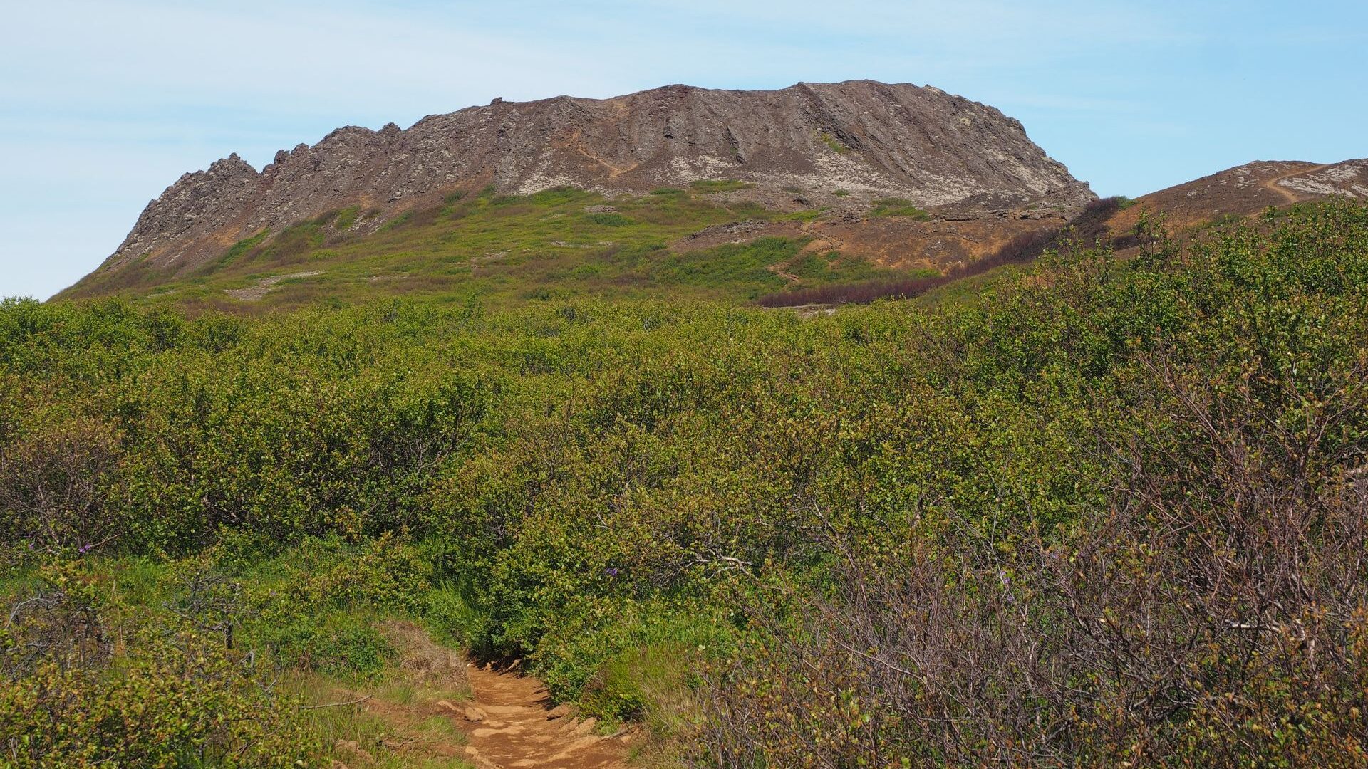
For our last adventure, we chose Glymur, Iceland’s second-highest waterfall.
The trail climbed steeply through caves and rocky terrain before reaching the river above the falls. To complete the loop, we crossed the cold river in sandals and continued along the opposite side of the canyon.
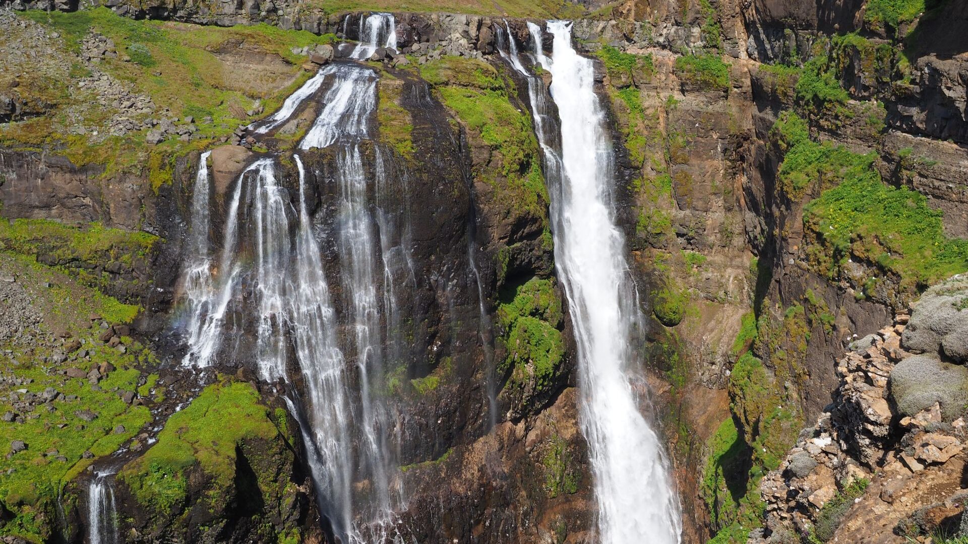
The weather could not have been more different from the conditions we had experienced earlier in the trip. The temperature reached around 22°C, and the trail was crowded with weekend hikers.
Later we returned to Reykjavík for one final meal. We celebrated the end of the journey with Icelandic food and outrageously expensive doughnuts before driving to Keflavík for the night.
The next morning, our Iceland adventure came to an end.